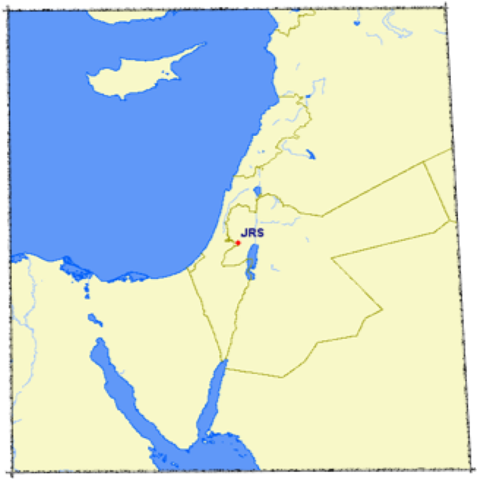

It took two attempts over two days (see yesterday’s diary entry), but today we finally made it all the way to Nazareth, the town where Jesus grew up. Today, we tried the more ‘secure’ route, west from Jerusalem almost to Tel Aviv, then north along the western perimeter of the West Bank, and finally north-east into Nazareth. Success!
Nazareth today is a bustling, middle-sized city with almost no visible remains of its Biblical history. To overcome this situation, a group of Christians has recreated a small section of Nazareth as it would have been 2000 years ago, calling the project ‘Nazareth Village’. We navigated the rabbit warren of streets and found Nazareth Village, which fortunately proved to be a very educational and enlightening visit with none of the theme park tackiness that I had feared.
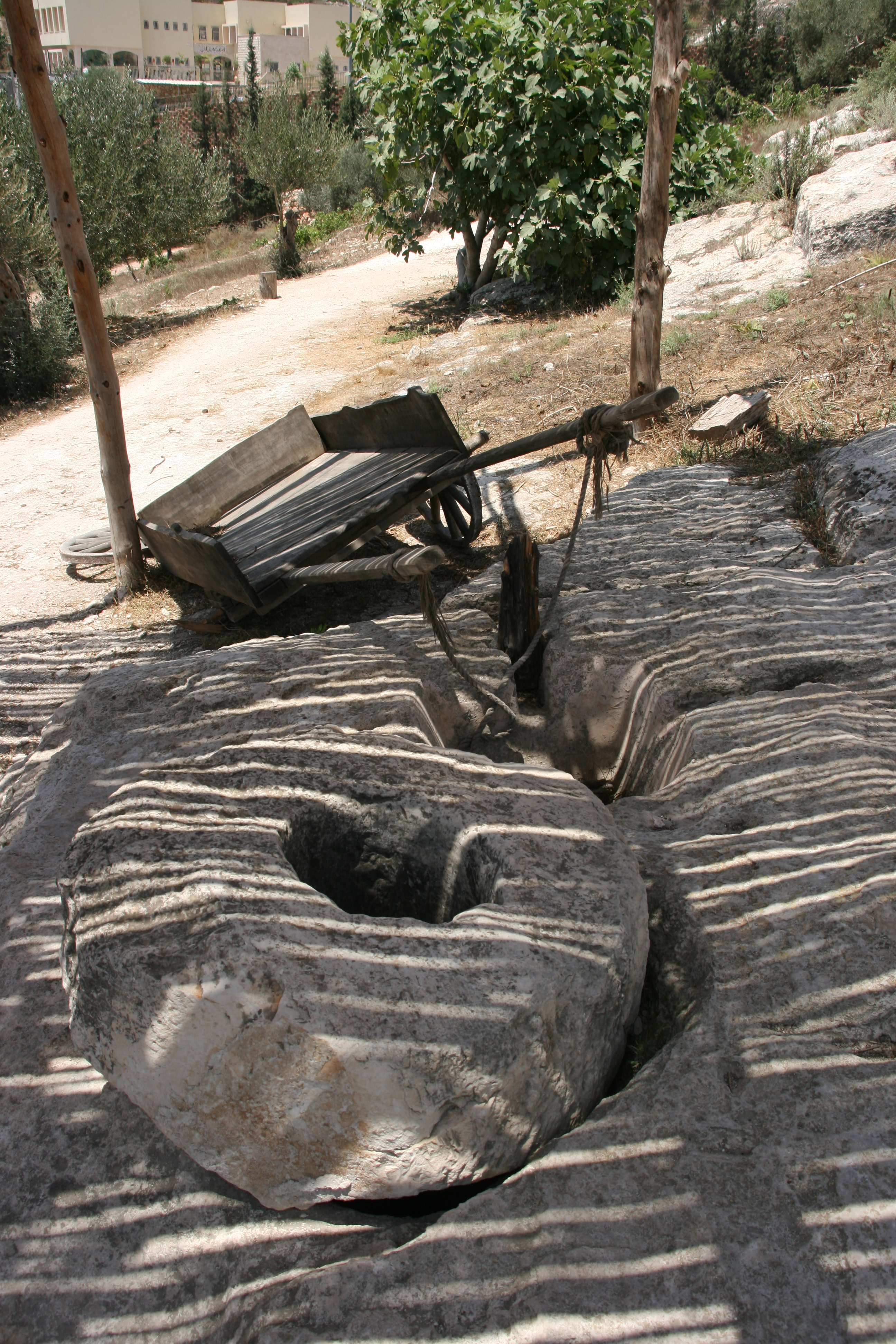
After a very informative introduction to life in Biblical-era Palestine, we saw sheep herding, the terraces for growing olive trees, a threshing ground, a wine press, a carpenter’s workshop and home, another house where a woman (actually a US university student on a vacation job) was weaving, an olive press, the synagogue, and finally the Room of Light (in which which we were presented with a clay oil lamp as a symbol of the Light of the World).
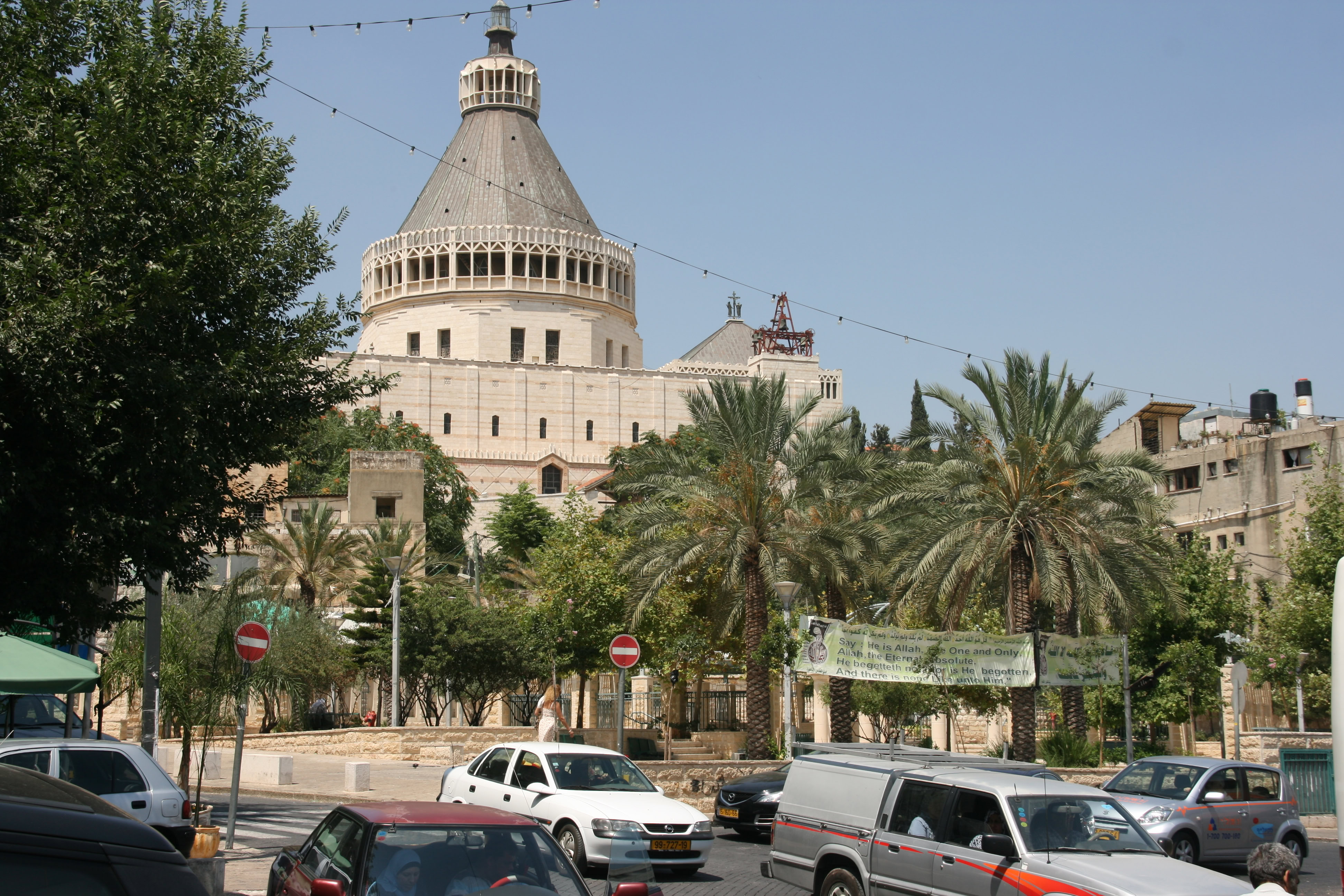
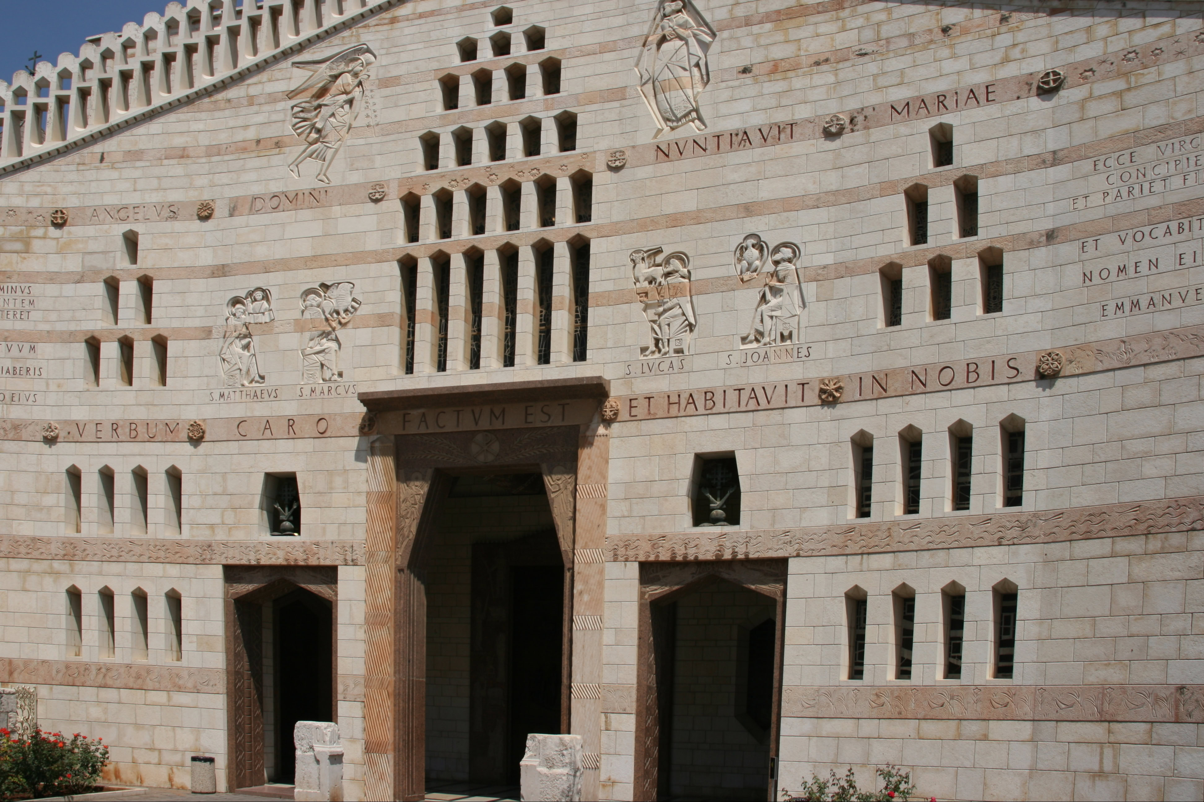
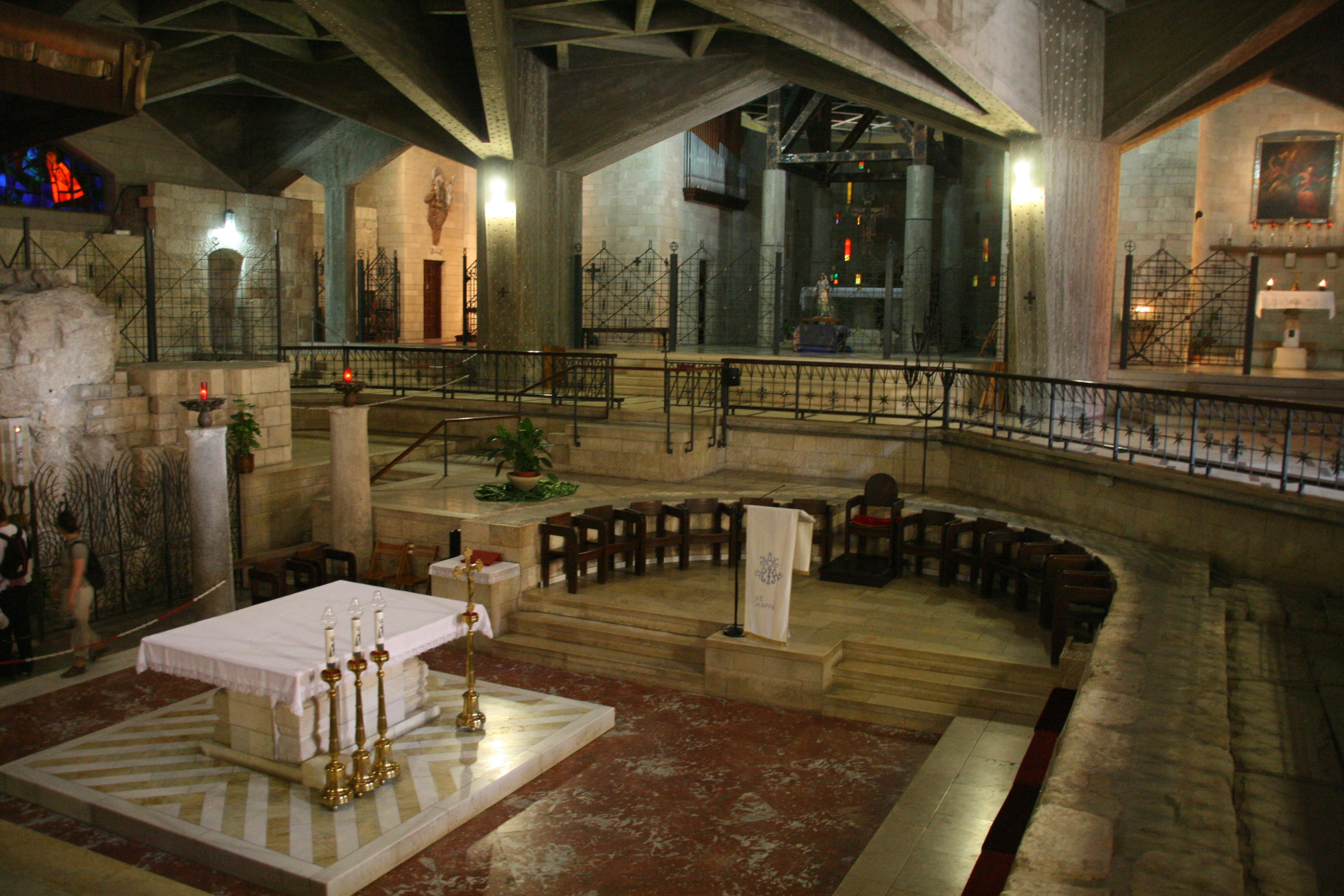
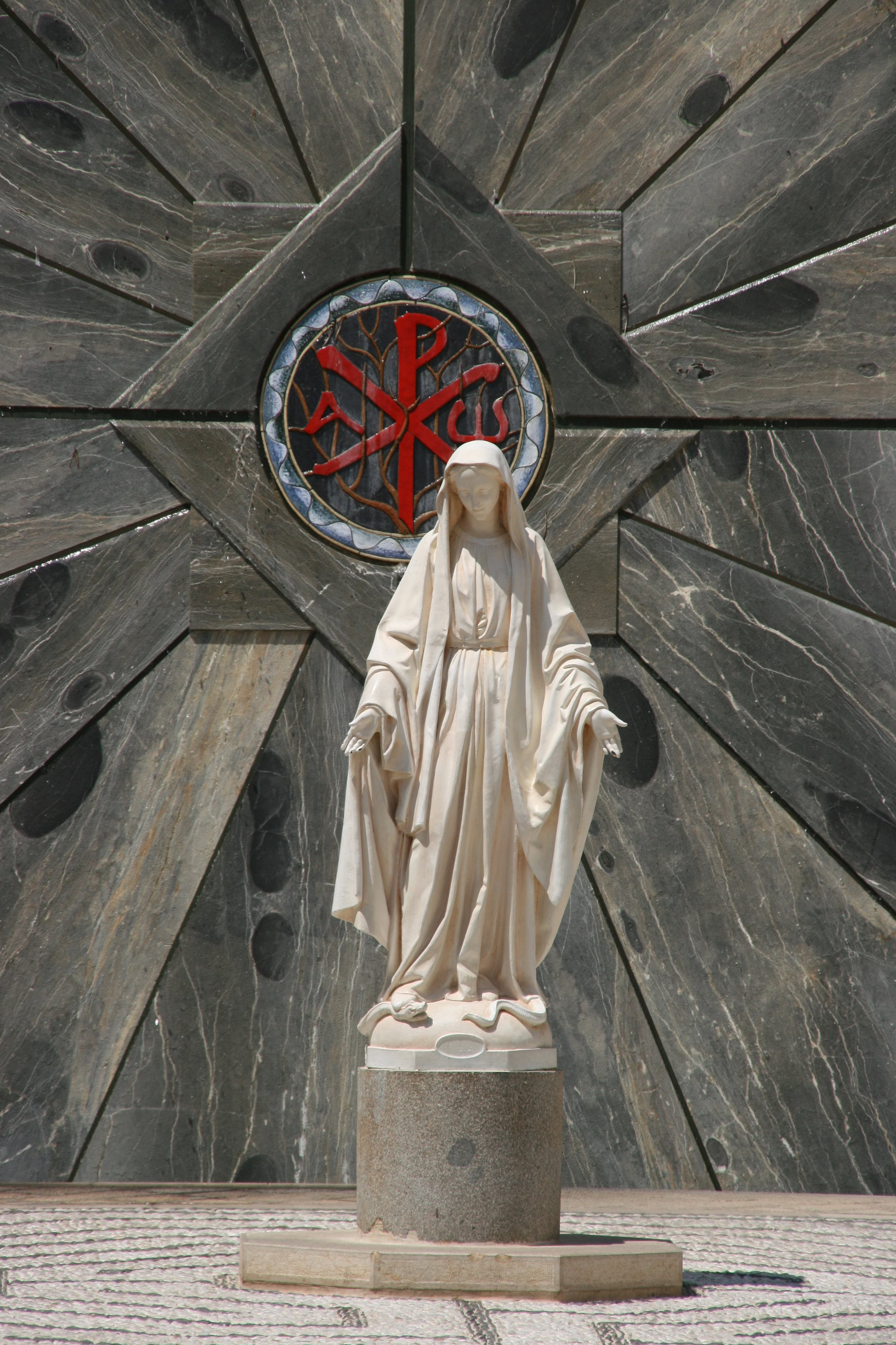
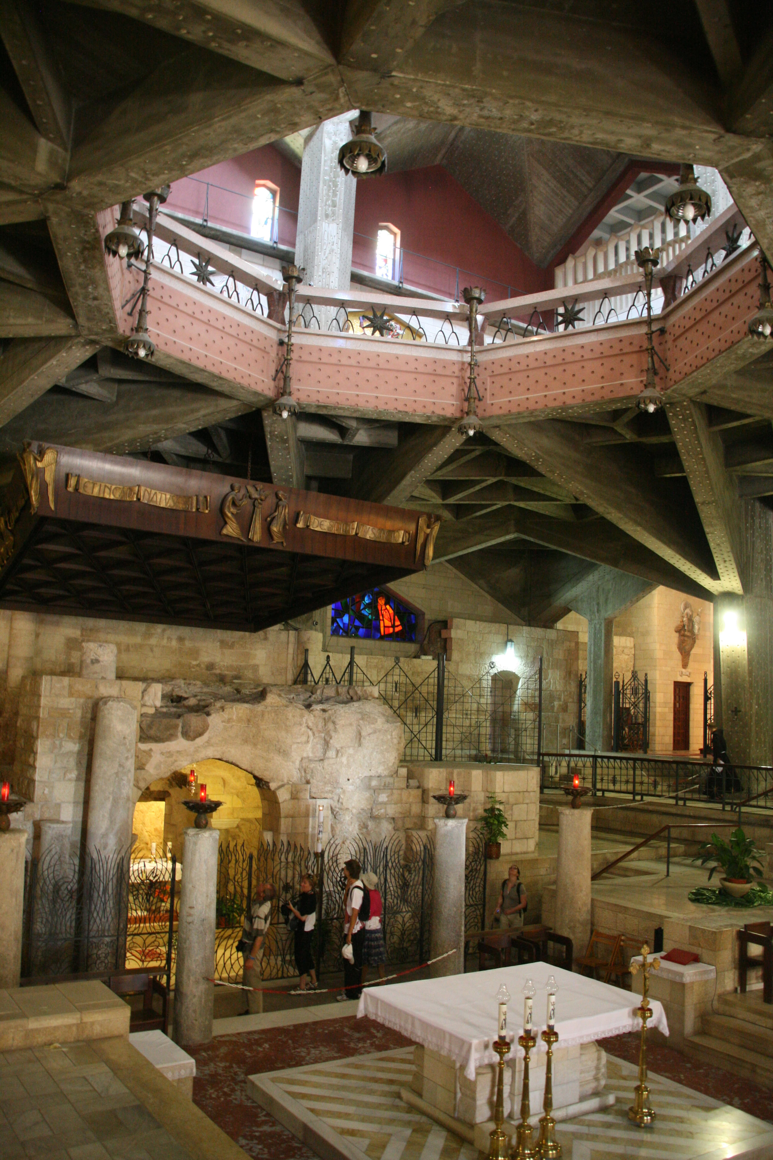
Having studied the Nazareth of 2000 years ago, it was time to bring ourselves up to date. A short 10 minute walk brought us to the modern city centre where a huge basilica had been built in 1969 (by the Franciscans). The largest Christian church in the Middle East, the Basilica of the Annunciation is believed to mark the place where Mary was living when the Archangel Gabriel announced to her that she was pregnant with the Son of God. Under a 60 metre high dome, the church dominates the Nazarene skyline today, and has quite an inspired feel to it, starting with exterior courtyard with mosaics of the Annunciation made in many countries of the world, and perhaps climaxing with a sunken enclosure housing the apse of a 5th century church on the same spot – the Grotto of the Annunciation which is supposedly the actual site of Mary’s house.
In stark contrast to the solemnity of the basilica itself was the adjacent plaza area outside, where several large banners in Arabic and English expressed strongly pro- Muslim messages. One can only speculate what the reaction would be if Christians erected equivalent banners in Mecca where the Prophet Muhammed (PBUH) was born.
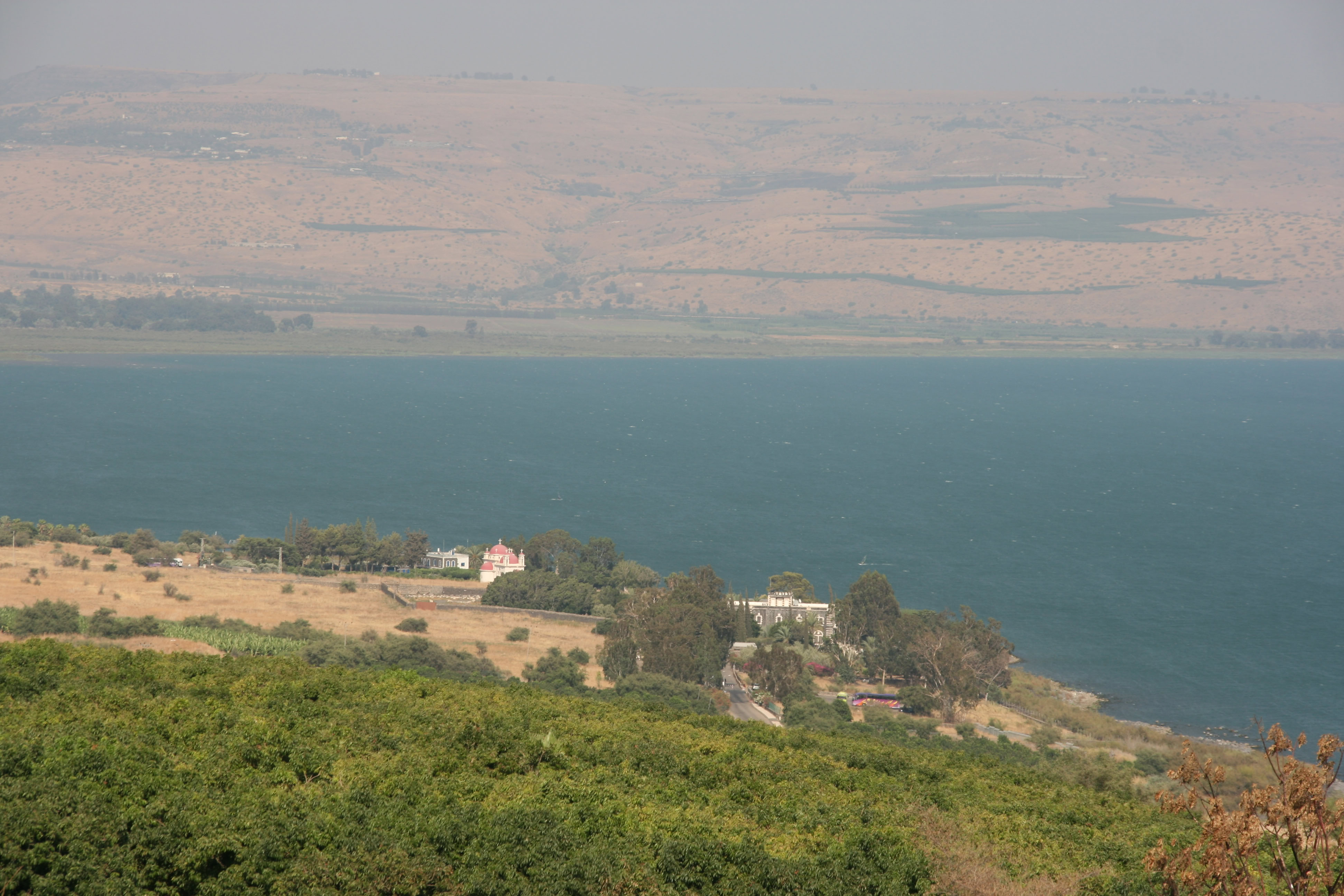
We made our way out of Nazareth and drove further to the north-east to the Sea of Galilee, arriving to spectacular elevated views across the blue waters from the hills outside Tiberias. Despite the clear skies and warm conditions, there was a a very strong wind blowing, and it was easy to imagine the hazardous conditions that would have been faced by ancient fishermen in a storm. Such thoughts were probably far from the minds of the tens of wind surfers who were braving the choppy waters of the Sea of Galilee this afternoon.
Pausing only for a brief photo stop in Tiberias, we headed towards the north along the west coast of the Sea of Galilee through Magdala (home town of Mary Magdalene) to Tabgha, a beautiful hilltop slope facing the sea that is believed to be the place where Jesus delivered the Sermon on the Mount.
Today, the area has been landscaped into a beautiful garden, surrounded by banana plantations, and topped with a chapel that was built by the Franciscans but is seemingly operated by a group of Italian nuns. The views from the mount were sensational, and one can only hope that not too many of Jesus’ original audience were overly distracted by the beauty of the place while Jesus was speaking.
Another small chapel at the foot of the hill marked the place where tradition says Jesus performed the miracle of multiplying the loaves and the fishes, while yet another nearby chapel marked the rock where Jesus is said to have named Peter as “rock upon which I will build my church”.
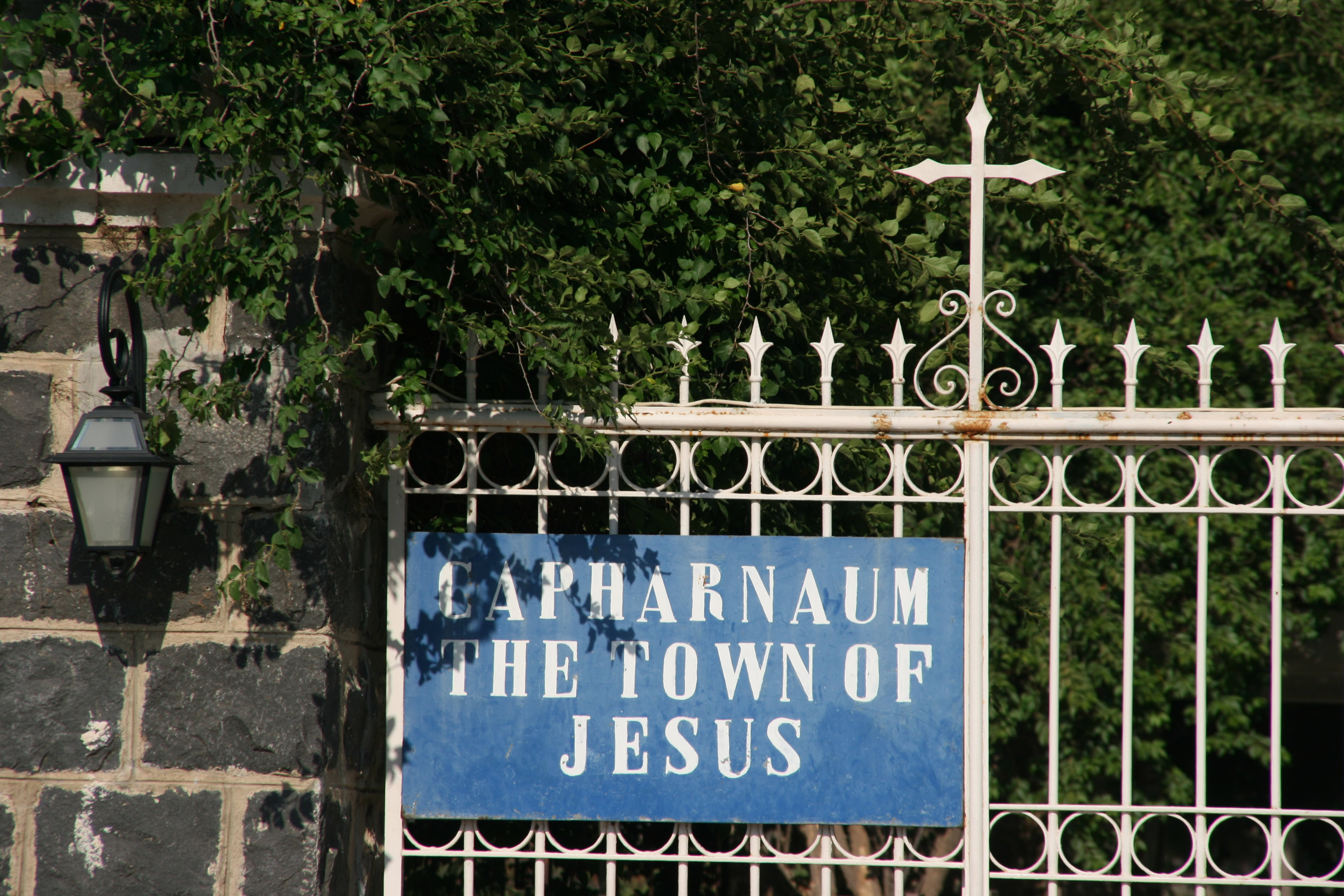
A few minutes drive further north from Tabgha brought us to Capernaum, the ruined village where Jesus performed large parts of his ministry. I would have loved to have seen inside Capernaum, which is now preserved as a museum, but although we arrived well before the advertised closing time of 5 pm, we were refused admission. Disappointing though this was, at least we were able to get a good feel of the countryside and the landscape of this very significant area.
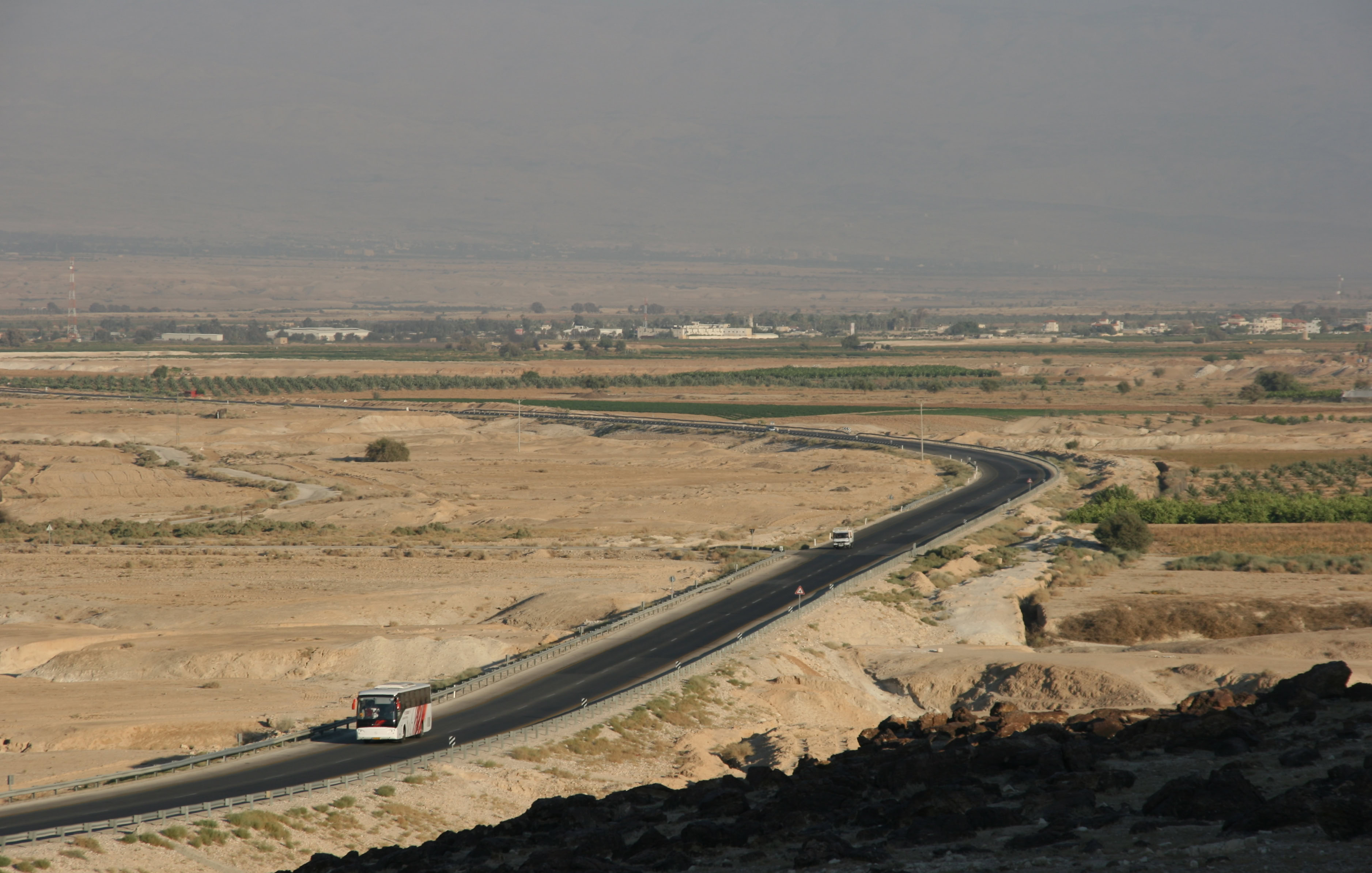
To return to Jerusalem we decided to take our chances and try the most direct way, south along the western bank of the River Jordan, even though this passed through Palestinian territory with the usual Israeli check points. As it happened, we didn’t encounter any problems whatsoever, and indeed the overwhelming majority of cars on the road were Israeli rather than Palestinian. Many sections of the road were lined with triple security fences, but it was fairly clear that the ‘significant’ check points were located a little further to the west, away from the river and the highway, and closer to the Palestinian towns and villages.
The drive south was a very pleasant one, illuminated by the golden light of the afternoon sun, past irrigated fields with great views across the River Jordan into Jordan (the country). Towards the southern end of the drive we saw a turnoff to Jericho which we were interested to see, given its ancient history.
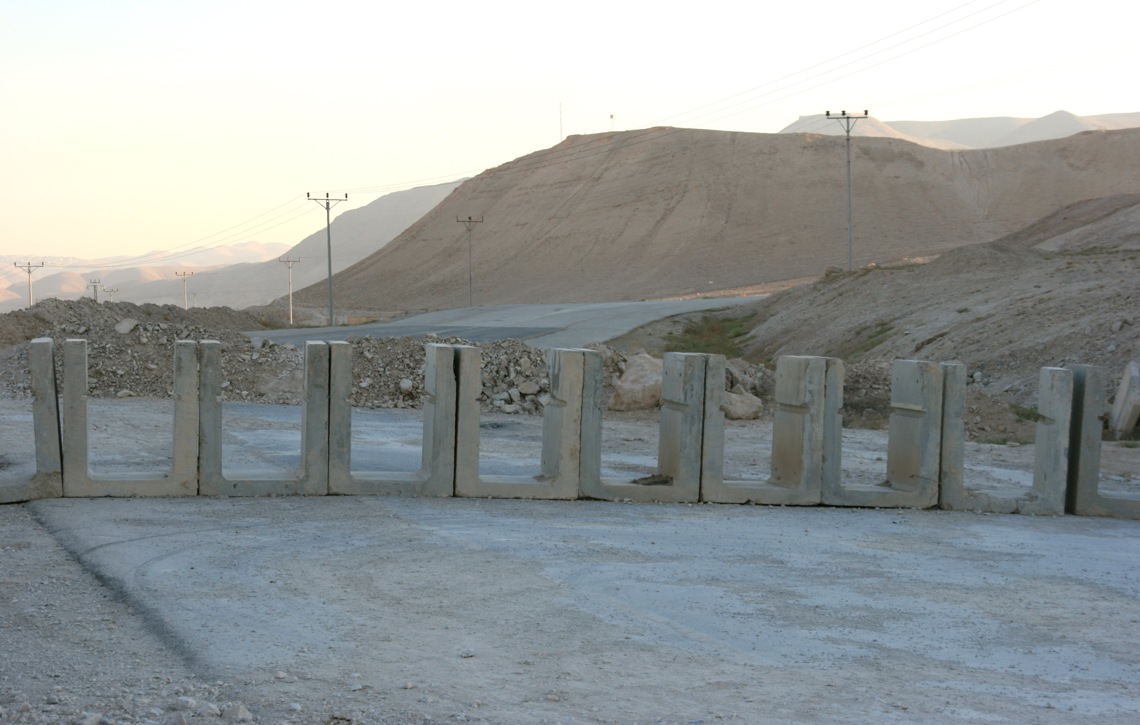
Despite the significant signposting of the road to Jericho, after a few hundred metres we encountered some very significant obstacles in the form of concrete barriers across the road. It was clear that this road would not take us to Jericho! A later turn off for Jericho was barred by a very secure Israel check point that we decided was not worth the time or the effort to try and crack. Jericho is a Palestinian city that apparently has some security issues at the moment, and we never did make it through to there.
A little beyond the second turnoff to Jericho we saw a turnoff to the left to the Baptism site – the Israeli equivalent of the place we had visited in Jordan a couple of weeks earlier where John the Baptist had baptised Jesus in the River Jordan. Despite the big sign marking the turnoff, this poorly maintained road too was closed about a kilometre from the main highway, this time by a high metal fence topped with barbed wire and signs proclaiming the area to be a military zone where photography was prohibited. We have now learned that on the very few occasions where they exist, road signs in Palestine often describe a fiction rather than a real, accessible destination.
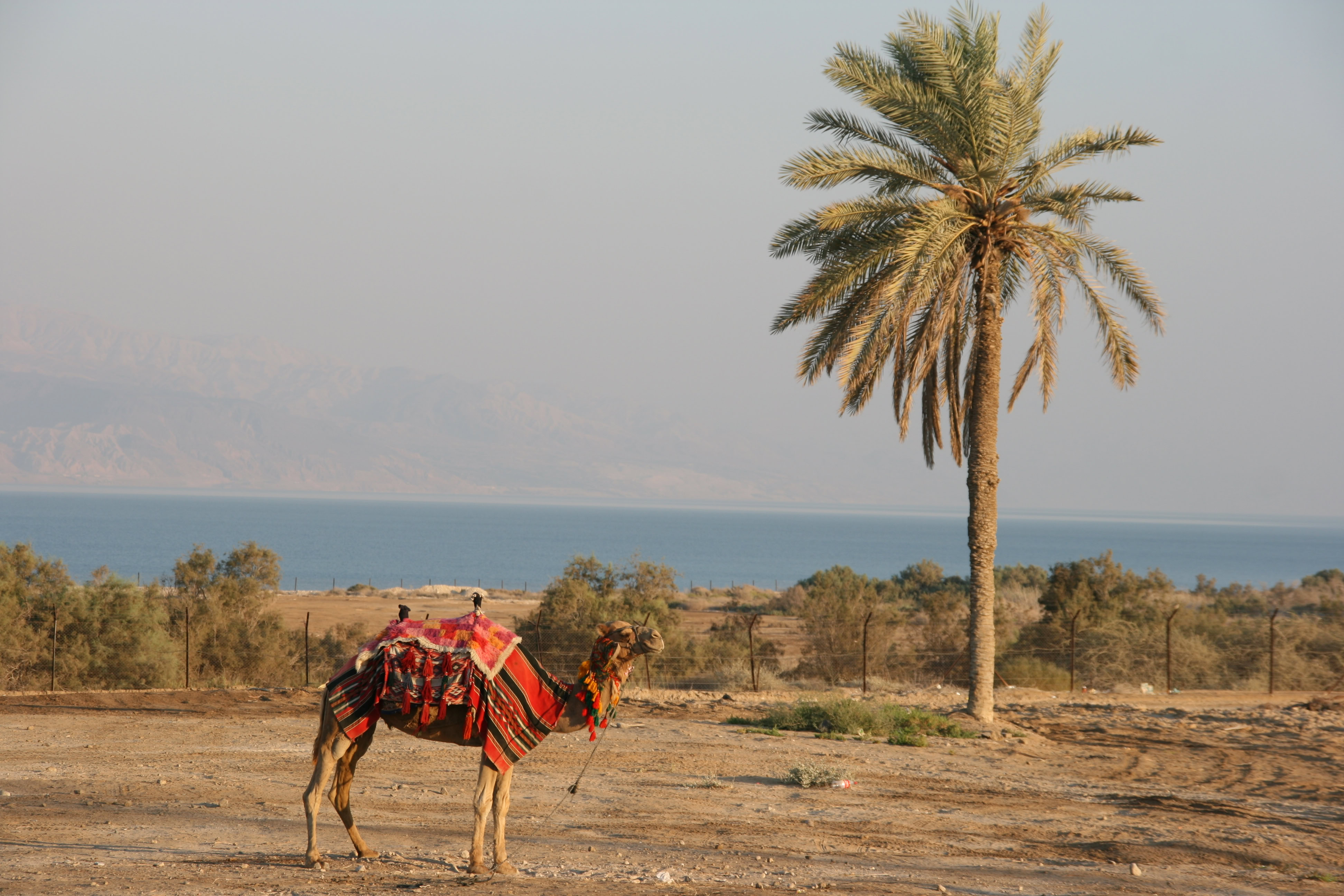
A few kilometres further on we saw another road sign reading “Dead Sea 3 km”. I was a little more confident that this sign might be real as I could actually see the Dead Sea in the not-too-far-away distance. It was a case of ‘third time lucky’ – on this occasion we did reach our destination. The Dead Sea is the lowest place in the world on dry land; the surface of the Dead Sea lies at 422 metres below sea level. And so, in the golden light of the almost-setting sun, we gazed across the blue waters of the Dead Sea towards the distant shoreline in Jordan where Andrew and I had driven just a couple of weeks previously on our way from Amman to Petra.
It now seemed a world away in time, although in terms of accessibility, my sense was that Jericho (just a few kilometres to the west) was actually the more faraway place.