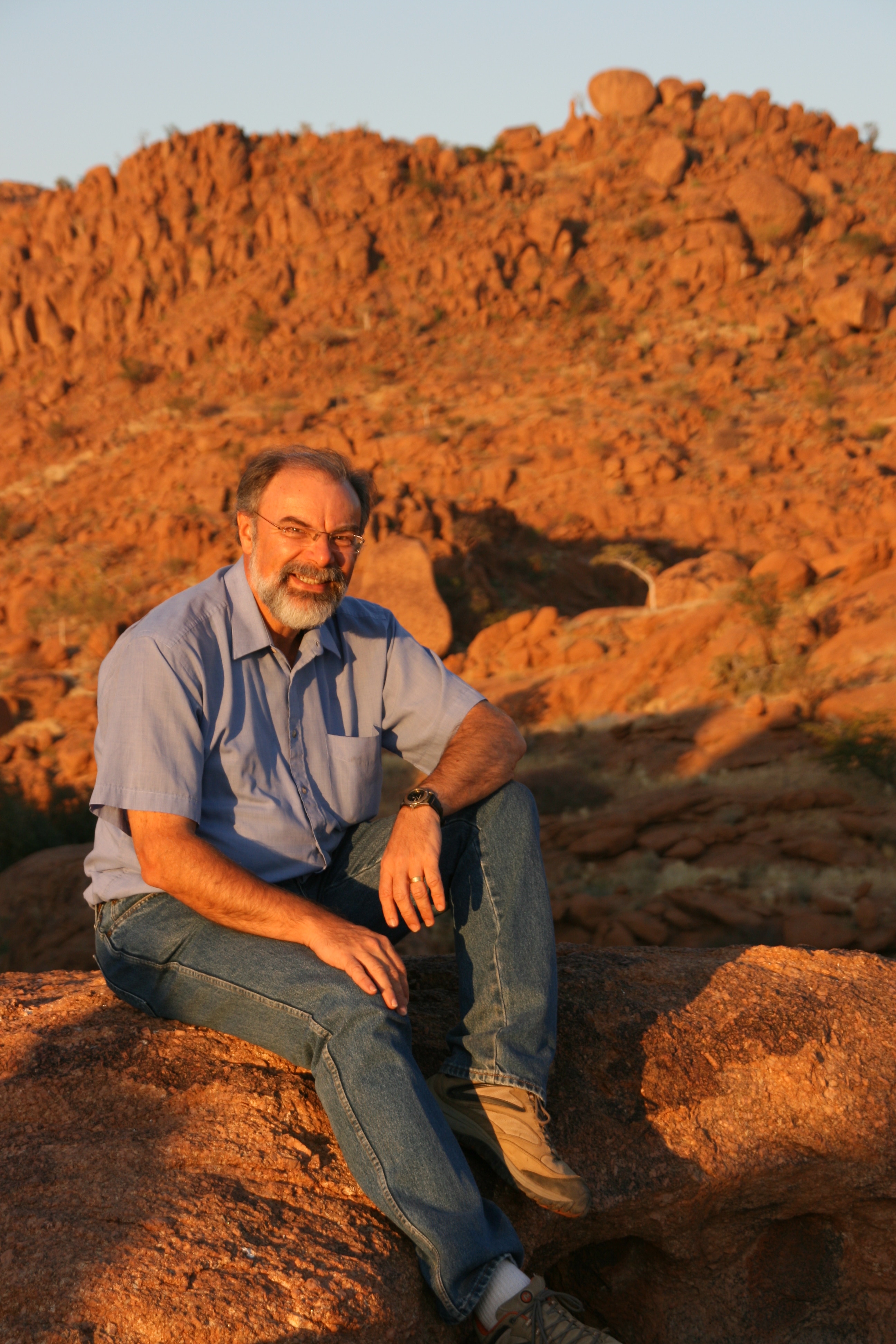


Although the temperature when we woke in our tent at Mowani was just 10 degrees, it actually felt quite a bit warmer than that, probably because the air was so dry. Furthermore, the shower at the campsite was one of the best we have had on our travels, with hot water at a constant temperature and with a reasonable flow. Things like that become important after almost three weeks on the road in Africa.
The reason we had woken up so early was so that our driver could take us out to look for the herd of elephants that he had heard was in the area. I think he was a bit embarrassed that he had spent three hours of our time on the previous afternoon in a vain search for the pack of elephants, and he was determined that he would find them this morning.
He didn’t.
We left the campsite at 7:15 am after an excellent breakfast of fresh, tasty foods, and drove around until he finally acknowledged defeat at 9:30 am. At times it was like living through a Russell Coight adventure. He asked directions at one stage, but seemingly convinced that the people he was talking to at the motor garage were trying to mislead him, he drove off in the opposite direction. He kept taking tracks that he “knew” were good short-cuts, only to find them peter out in the scrub. We did find some fresh elephant tracks, with some fresh droppings and even some recently deposited elephant urine, but rather than follow the way the elephants seemed to have gone, he preferred to stay on established tracks despite having a 4WD, and follow his instincts. It wasn’t exactly like Russell Coight of course; Russell Coight sometimes actually knows the difference between right and left, and Russell doesn’t use mascara.
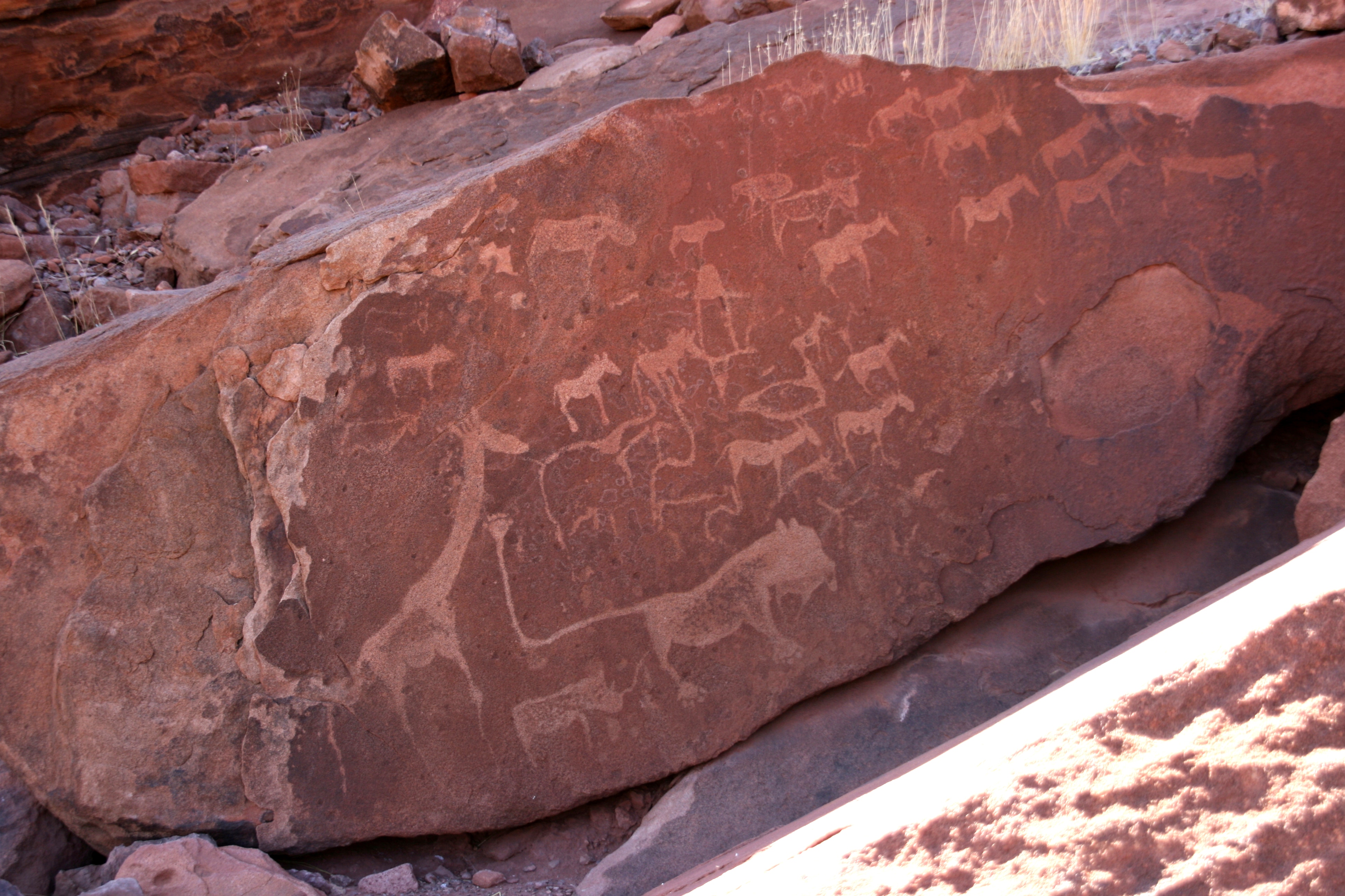
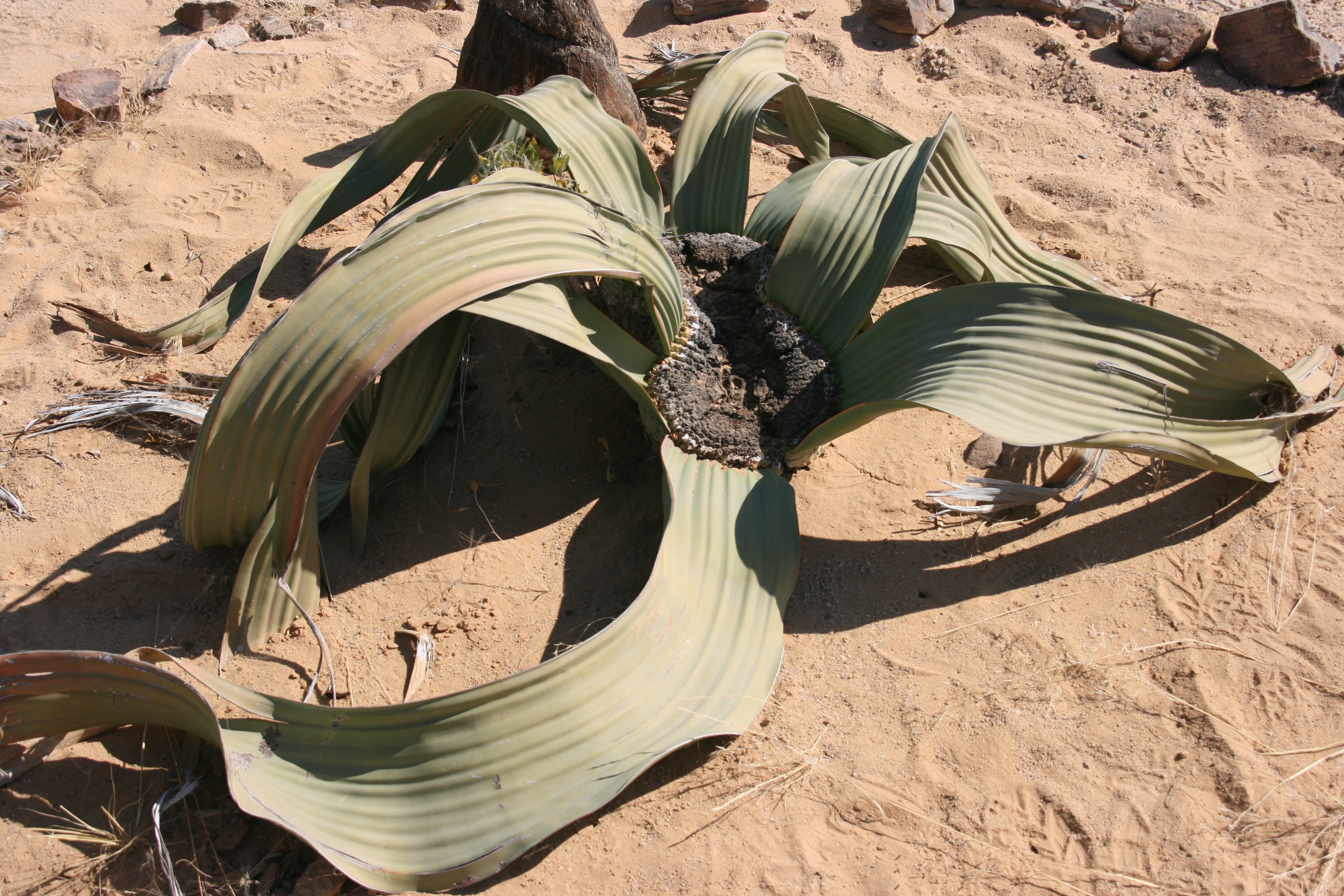
Having helped our driver to maintain his run of bad luck in finding elephants, it was time to see something of Twyfelfontein’s geography, which was actually why I had chosen to include the place in our itinerary. Our first stop was the ancient (6000 years old) rock engravings made by San Bushmen. This was much better than I had expected. There are many boulders with engraved pictures, mostly showing animals with some also showing hands and other details. It is speculated that the engravings were made by Bushmen as teaching tools and to communicate with other Bushmen groups who would come to the area at a later time. In that context, one engraving that especially captured my interest showed a map of waterholes together with the animals that were found there. This must be one of the oldest maps in existence.
Another thing that excited me was the pattern of weathering in many of the rocks, which showed the typical pattern of salt weathering on sandstone that is commonly found on cliffs beside the ocean. However, Twyfelfontein is about 150 kilometres from the ocean, and the only possible explanation is that the area experiences frequent fogs that blow in from the ocean, and these fogs must carry the salt particles that cause the weathering. Also fascinating was the visitor’s centre where the guides meet all visitors before accompanying them to the engravings (in order to prevent any damage or graffiti) - the building is almost entirely made from scrap metal drums, cut and arranged to resemble armoured animal skeletons. There was one down-side of my visit to the rock engravings - I missed seeing a low tree branch and cracked my forehead open when I hit it. Andrew now says I resemble Mikhail Gorbachev with my red zig-zag cut on my hairline.
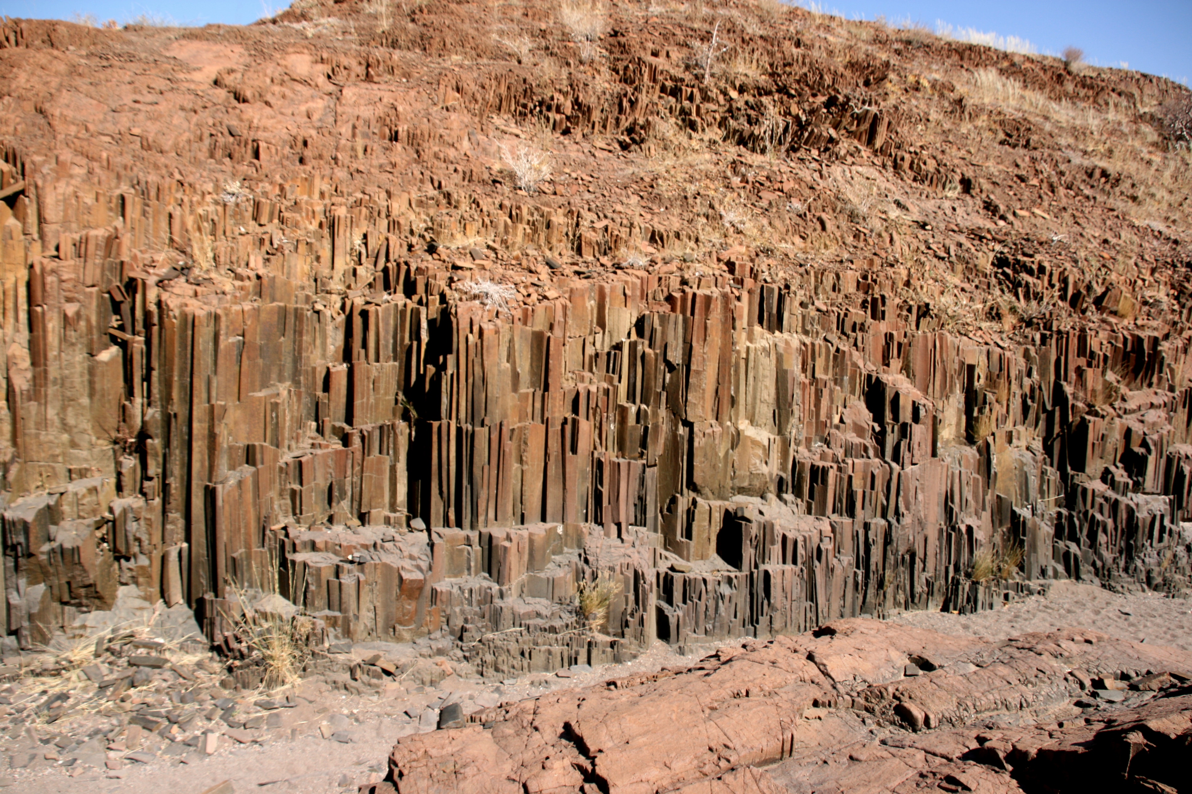
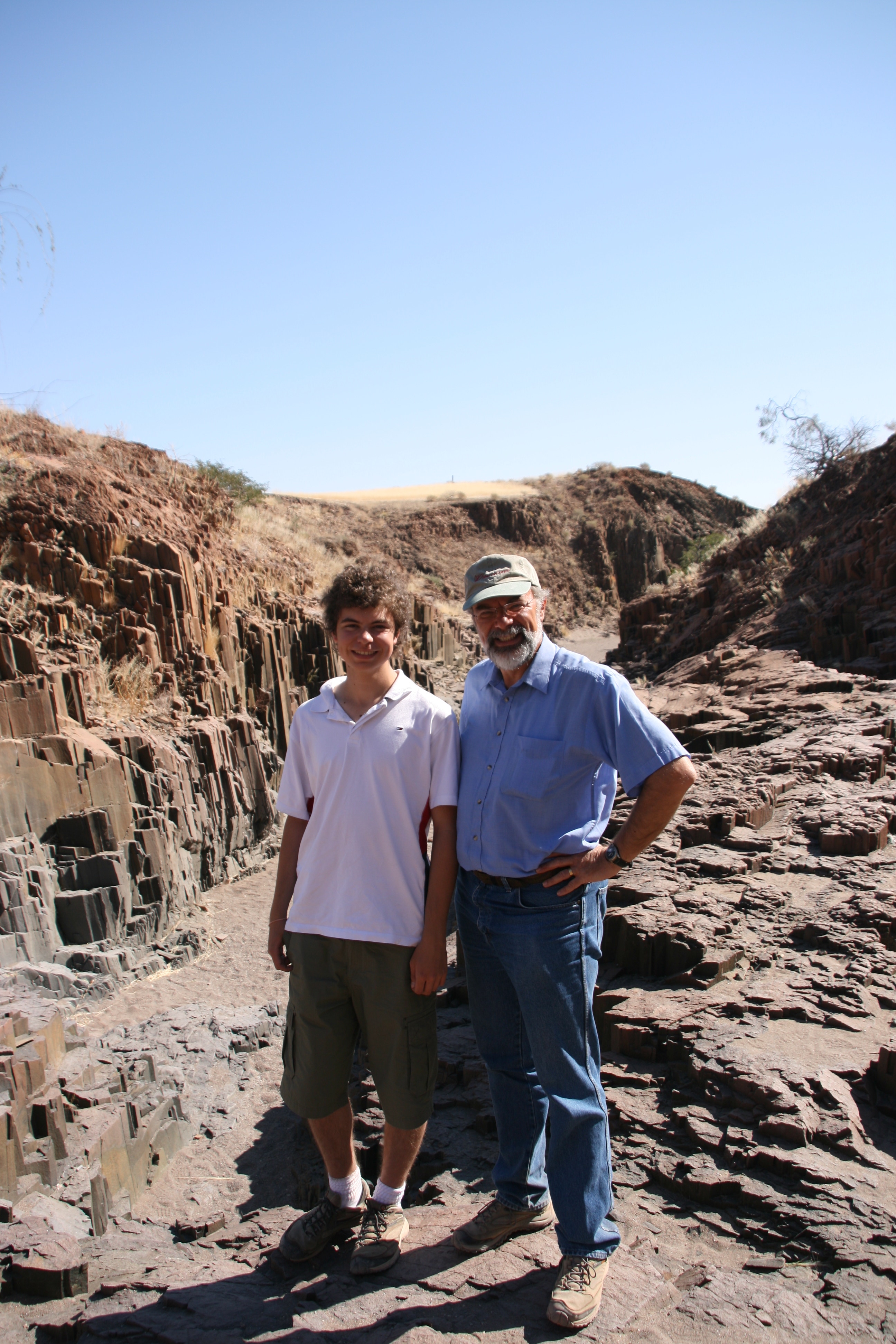
After this fascinating visit to the rock engravings, we drove just a few kilometres to a dry river bed housing a feature known as the Organ Pipes. The steep, almost vertical sides of the valley resemble a pipe organ because they contain thousands of columns that have formed by weathering in the dolerite (coarse grained basalt). It was one of the best and clearest examples I have ever seen on columnar weathering.
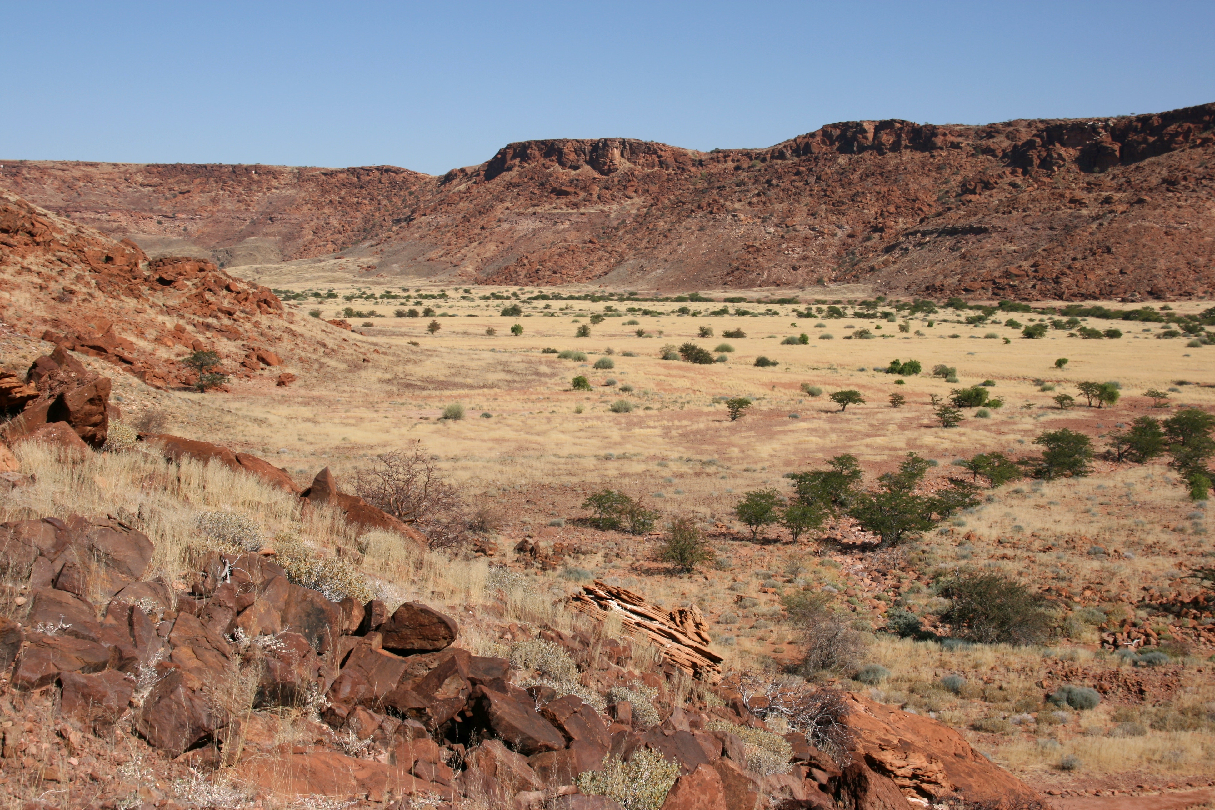
Another short drive brought us to another geological feature of interest, a volcanic ridge known as Burnt Mountain. In contrast to the surrounding bright orange sandstone, Burnt Mountain is a dark violet-brown colour that looks as though it has been burnt in a fire. It is a desolate area on which nothing grows, and the effect is quite eerie.
From Burnt Mountain, we embarked on quite a long drive to the Petrified Forest. Actually, the drive was about 50 kilometres longer than it should have been as our driver either mis-read his map or didn’t consult his map, and we headed out of Twyfelfontein quite confidently for about 50 kilometres on the wrong road before he realised the mistake. This necessitated a 46 kilometre drive across the countryside to the correct road, and then a drive back towards Twyfelfontein along that road.
Maybe Andrew and I were spoilt by Francois, the brilliant guide we had at the Kunene River, but this driver does not really seem to have his act together. He seems to be quite knowledgeable about identifying different types of birds (which are of close to zero interest for me), but he is not so hot on other facts, reading maps or finding directions (which seem important skills for a guide/driver). Perhaps because I told him yesterday that there was an explanation for the formation of his Wonder Hole, he has not offered any explanations of how anything was formed today – instead he has actually asked me how they were formed.
This is good in one way, but I do feel that we are not getting the detailed input or explanations that we might reasonably expect. I enjoy teaching, but when I travel, it is because I want to learn.
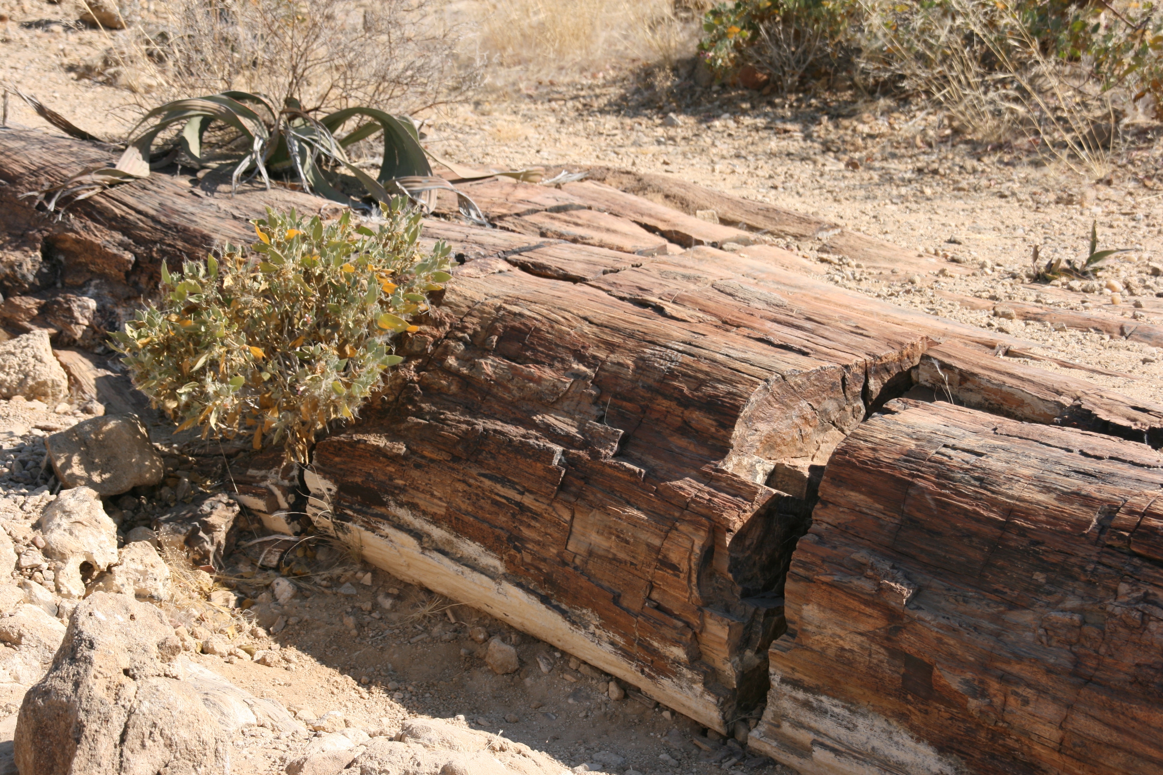
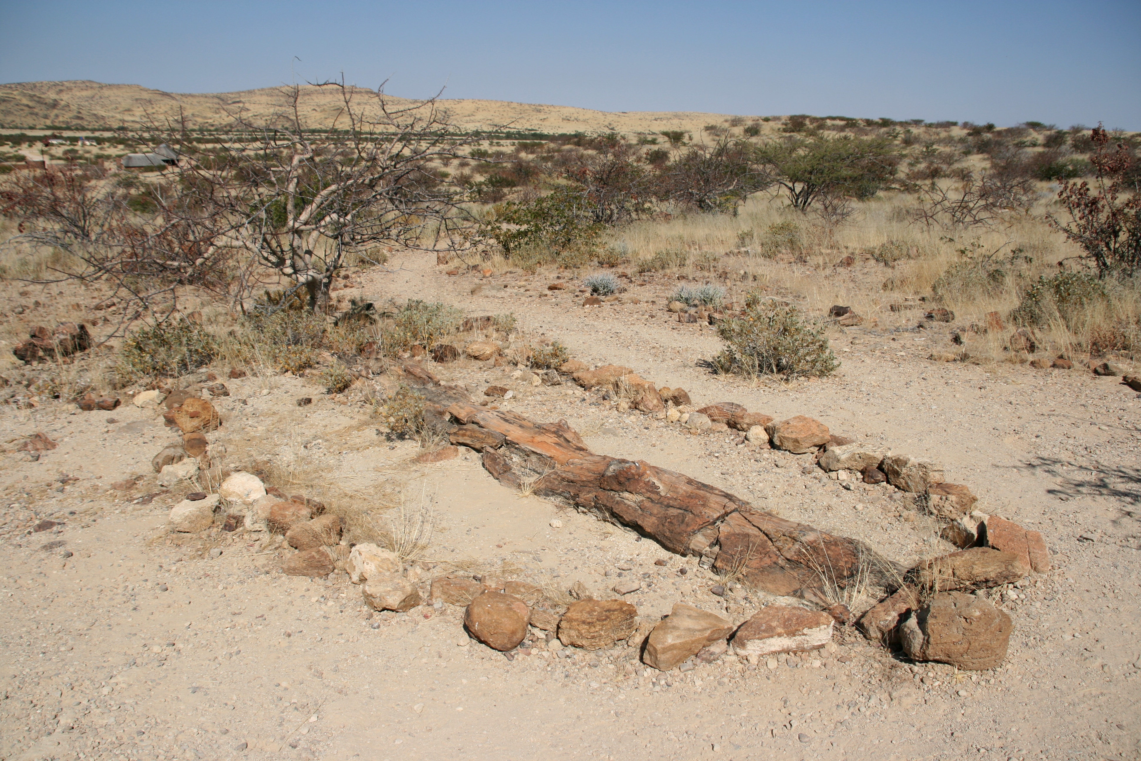
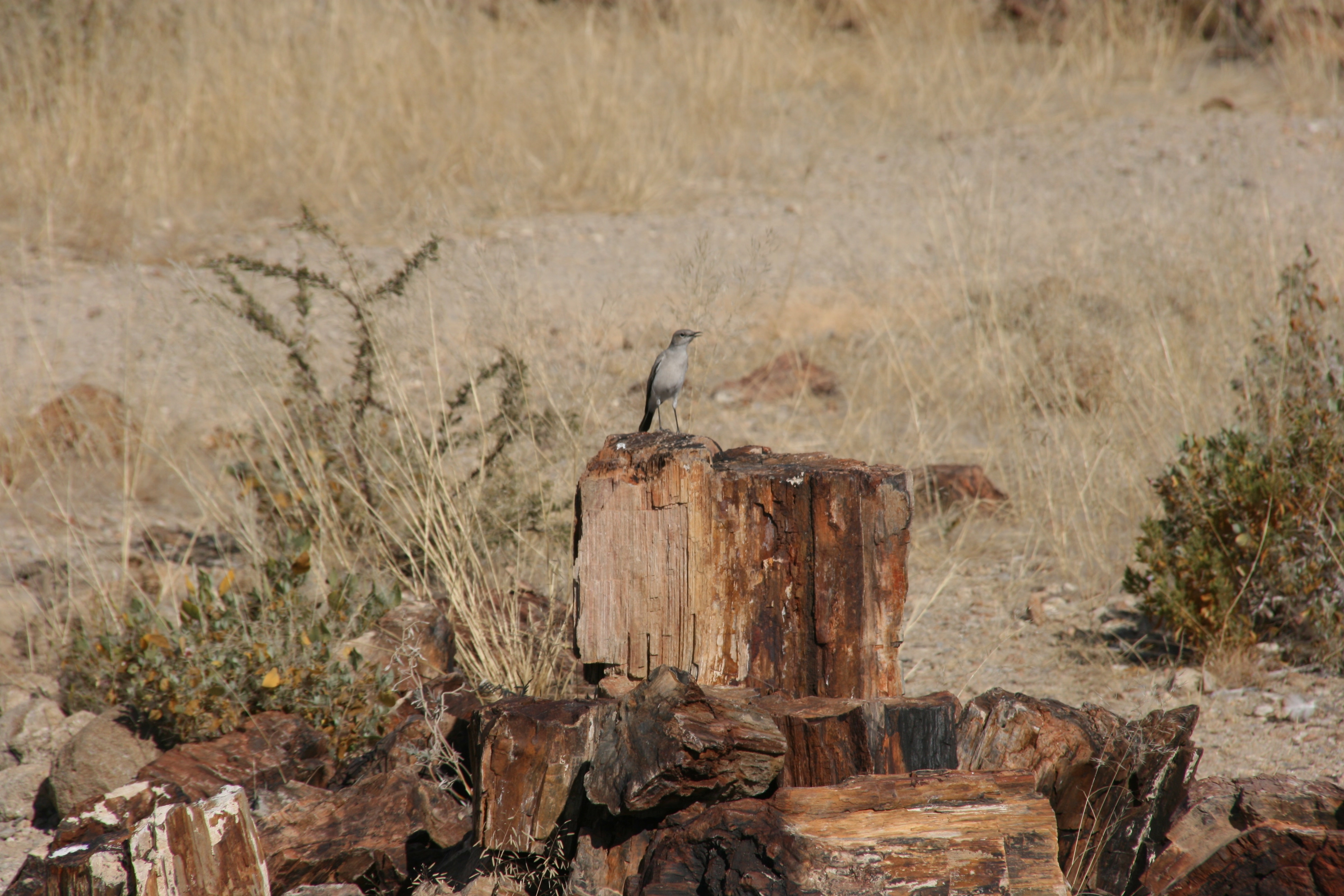
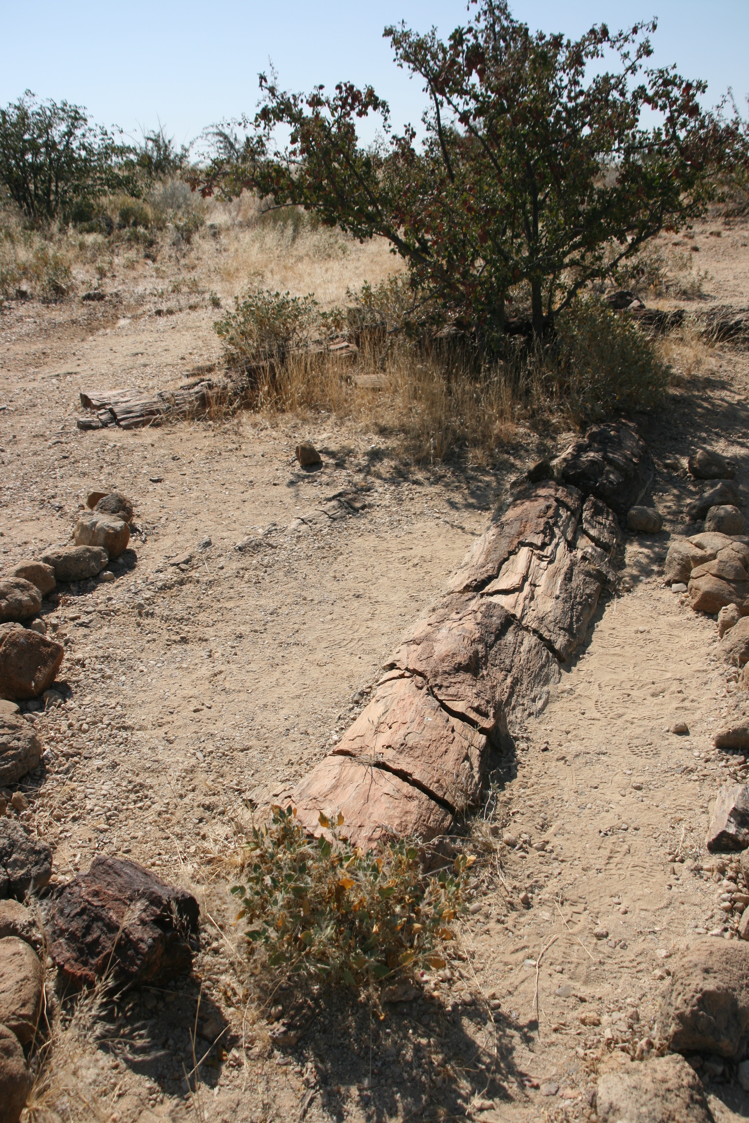
The Petrified Forest was an area of open scrubland that has a large number of petrified tree trunks. The longest log is 45 metres in length, and others are also of considerable size. The area is also covered with the smaller fragments of trees that have been broken up, such as the pieces shown in the photo to the left. The original logs, which were of a type of conifer, were supposed to have been washed down from central Africa in a major flood about 280 million years ago. After the logs arrived in Namibia, they were buried and subjected to extreme heat and pressure which turned the timber into rock. Today, the rocks still resemble timber in appearance, but they are definitely hard as you would expect rocks to be.
We had a great picnic lunch while at the Petrified Forest, and then we began the afternoon drive to the Etosha Salt Pan, our destination for the evening. The drive of almost 300 kilometres took us along generally smooth and mostly sealed roads, passing through only two towns en route. The first town, Khorixas, was used as a refuelling stop and an opportunity for me to get some cash from an ATM. In almost every way, Khorixas reminded me of a typical town in central Australia, such as a smaller version of Alice Springs for example. It is the nearest thing I have seen to a central Australian town outside central Australia.
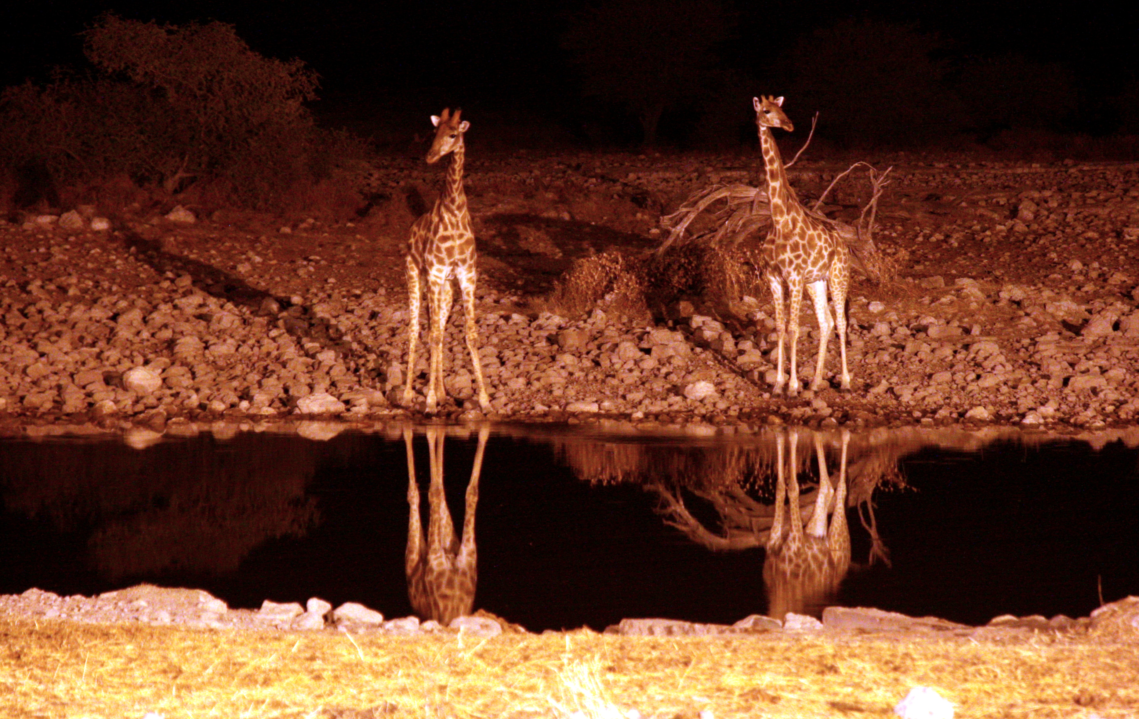
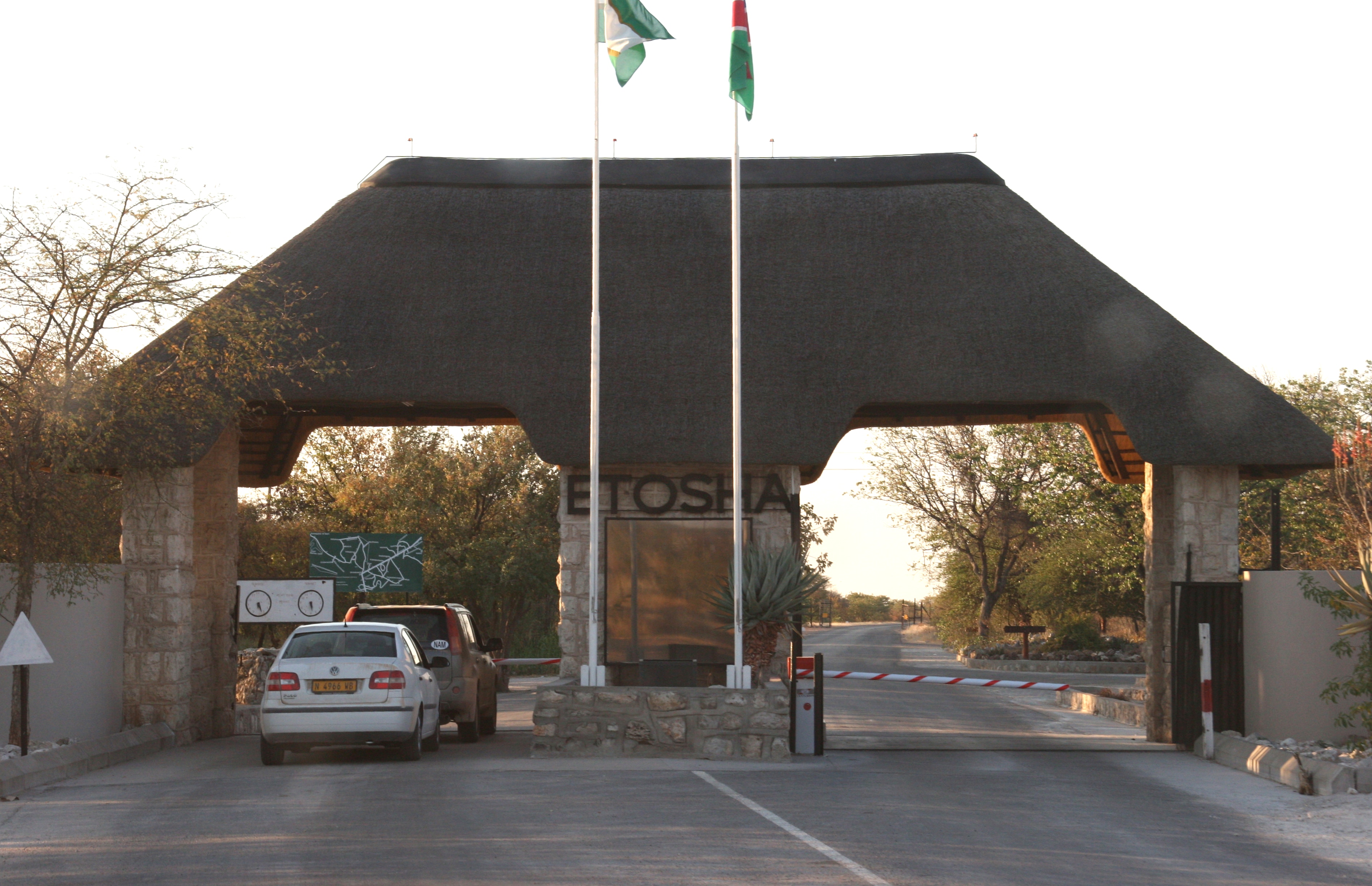
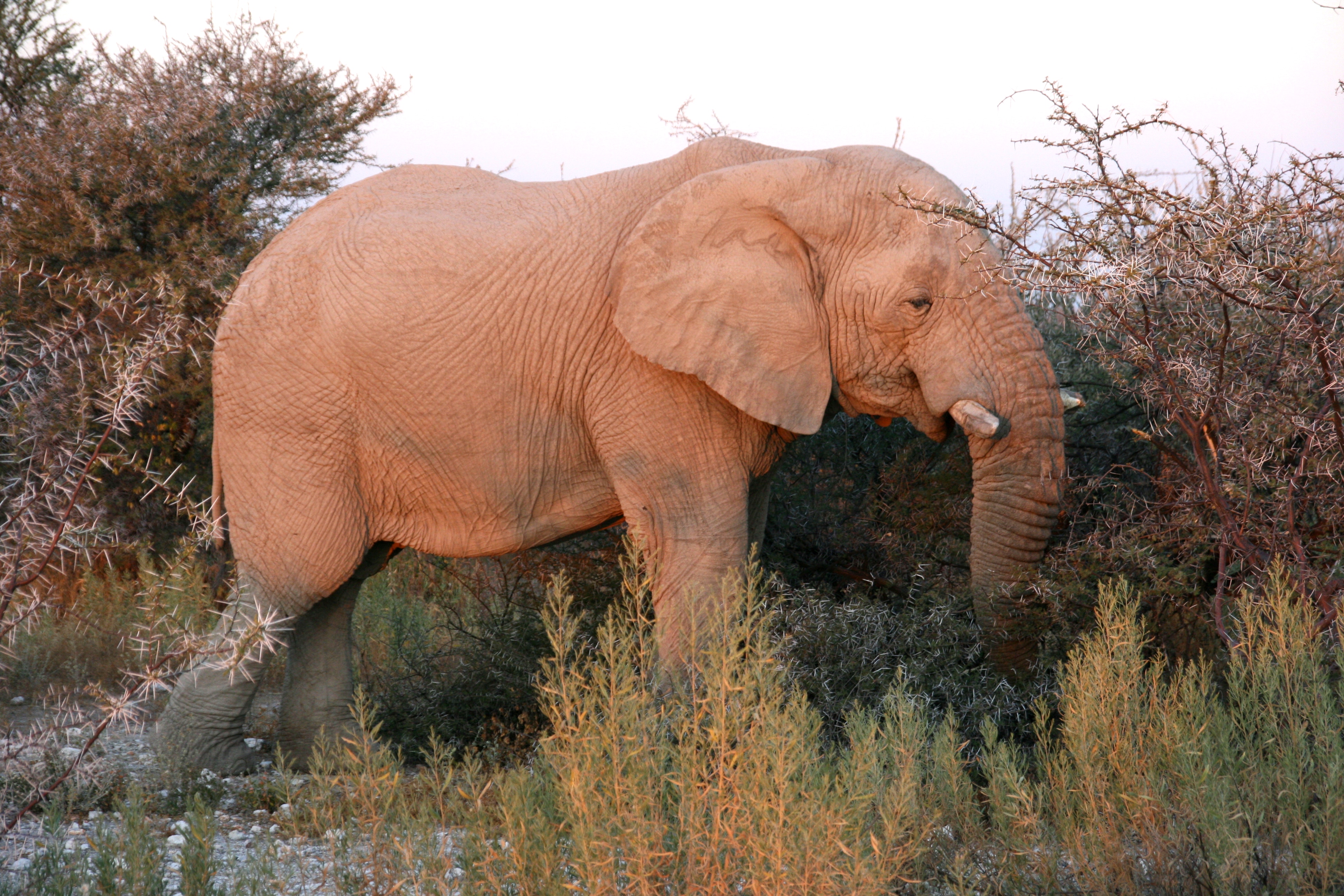
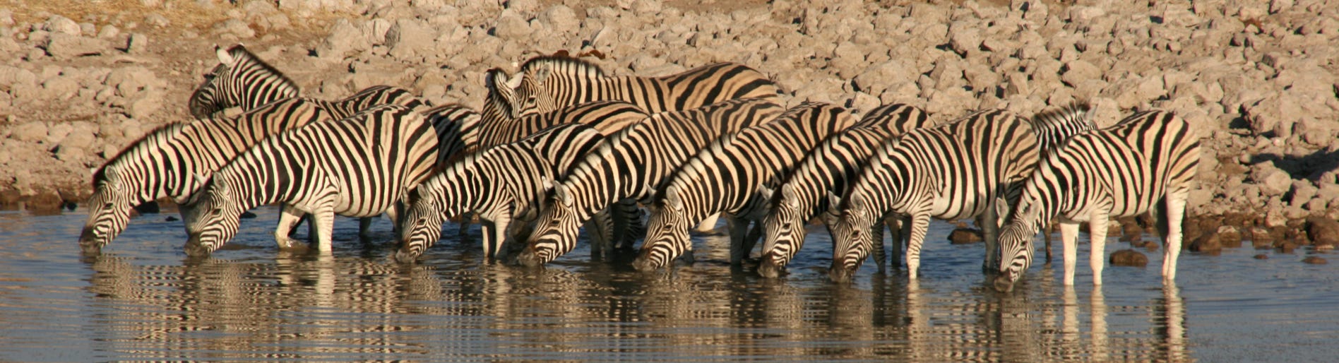
The rest of the journey was completed shortly before sunset, a necessary deadline as the gates to Etosha National Park closed at that time. Our room at the campsite is a recently renovated cabin that is situated only about 30 metres from a floodlit waterhole where animals come and drink after dusk. After settling into our room, Andrew and I paid a first visit to the waterhole, which is when the photo of the giraffes at the top of this page was taken.
We had a fairly late dinner, starting at 7:50 pm, which was buffet style in the main cafeteria of the campsite. The desserts of ice cream and chocolate mousse were really appreciated - African food at its best!
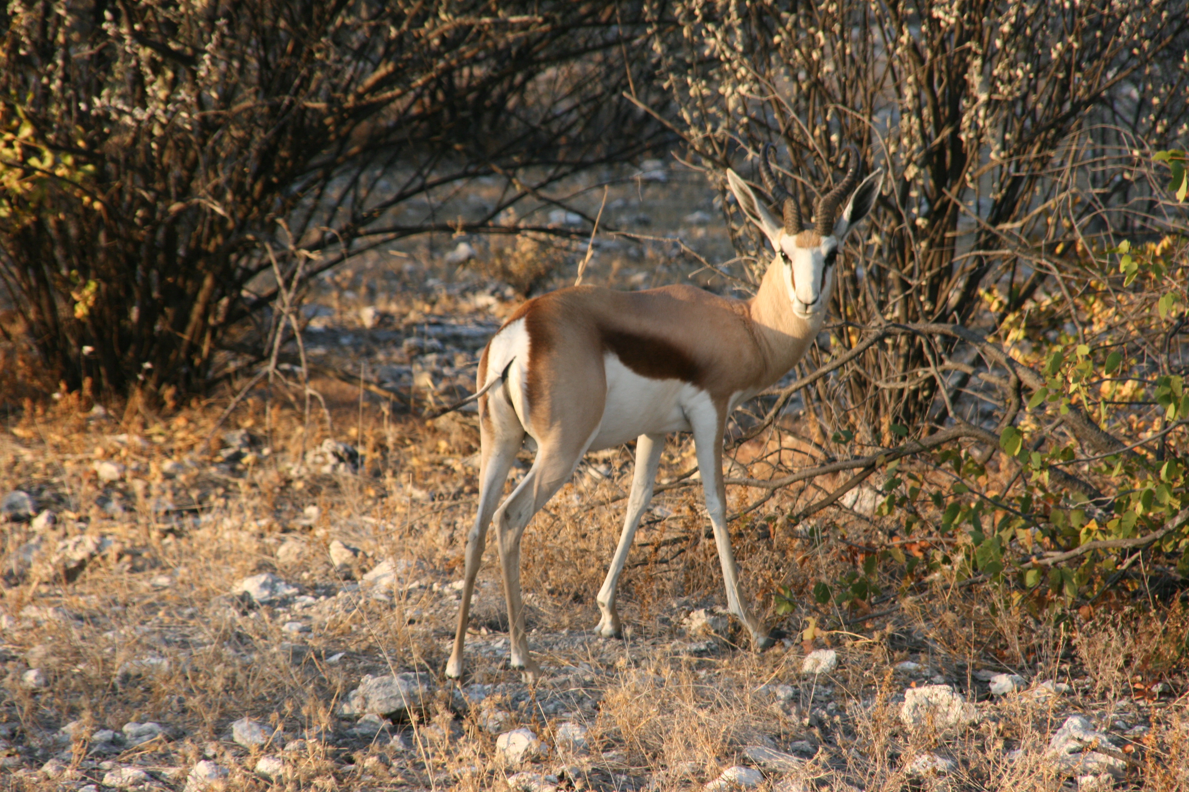
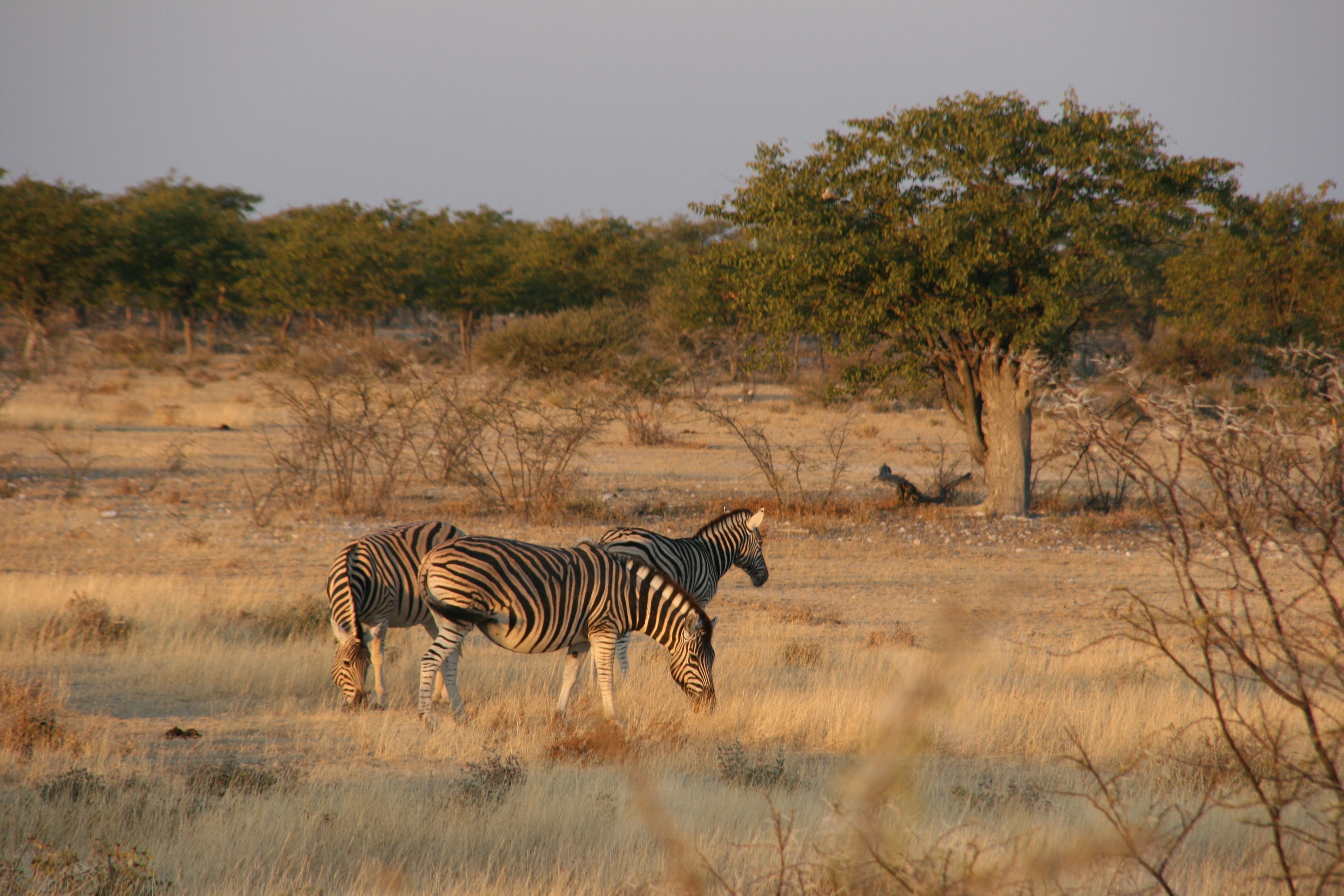
After dinner, we paid a few more visits to the waterhole, and saw springbok, rhinos and elephants coming to drink. Perhaps the highlight was at about 10 pm when a herd of about 35 elephants came to drink. What a fantastic experience, to watch a herd of elephants plus about three rhinos drinking simultaneously, all the time with a solitary jackal wandering about - just a few tens of metres from where we would sleep for the night. Simply magic!