
The first time I went to China, which was in 1982, I imposed a quota on myself for the number of photos I would take each day. The limit I imposed on myself was 36 photos per day, mainly because I was using colour slide film which was reasonably expensive. Now that I have changed to digital photography, cost is no longer an issue and I tend to take as many photos as I think can be useful. But before today, I had never taken 687 photos in one day! That number of photos is a measure of the fantastic day that Andrew and I have had.
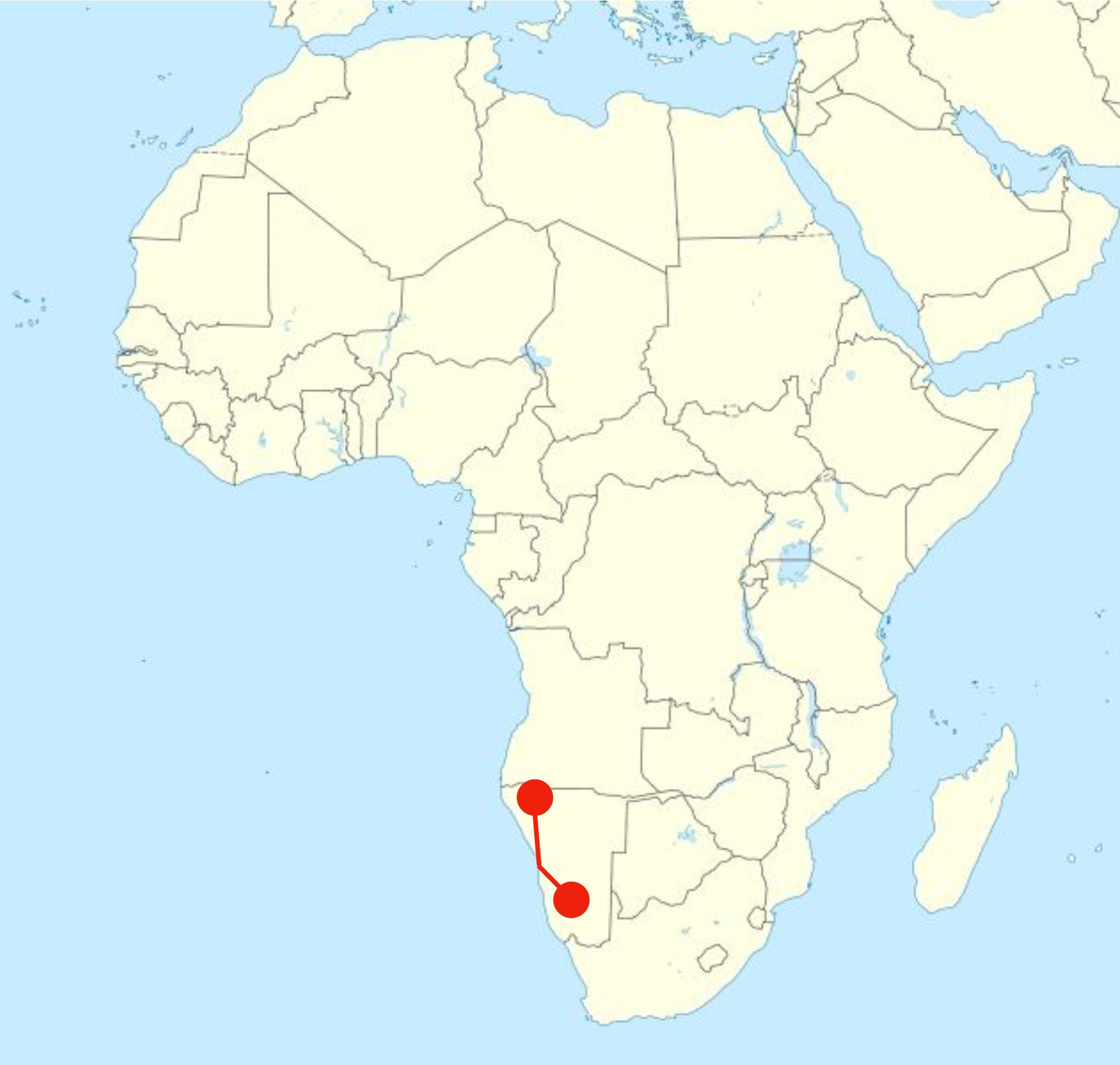
We woke in Windhoek to the sound of the alarm at 5:45 am. We were due to leave our guesthouse at 7:15 am to catch a small plane that would take us to the Kunene River Valley, which is in the remote, isolated north-west corner of Namibia on the border of Angola. We were a little late leaving, for two very good reasons. First, we we had a shower with hot water, which was a much appreciated novelty after a week in southern Ethiopia and we wanted to make the most of it. Secondly, the guesthouse served each of us some of the best breakfasts we have ever had. Andrew ordered eggs Canadian style, which meant they came with warm slices of bananas and cranberry sauce. I ordered eggs Norwegian style, which was scrambled eggs with smoked salmon and cottage cheese. To accompany the eggs, there was a delicious granola, fresh fruit with yogurt, and some of the best filtered coffee I have tasted for a long while. That is simply not the kind of breakfast that should be rushed.
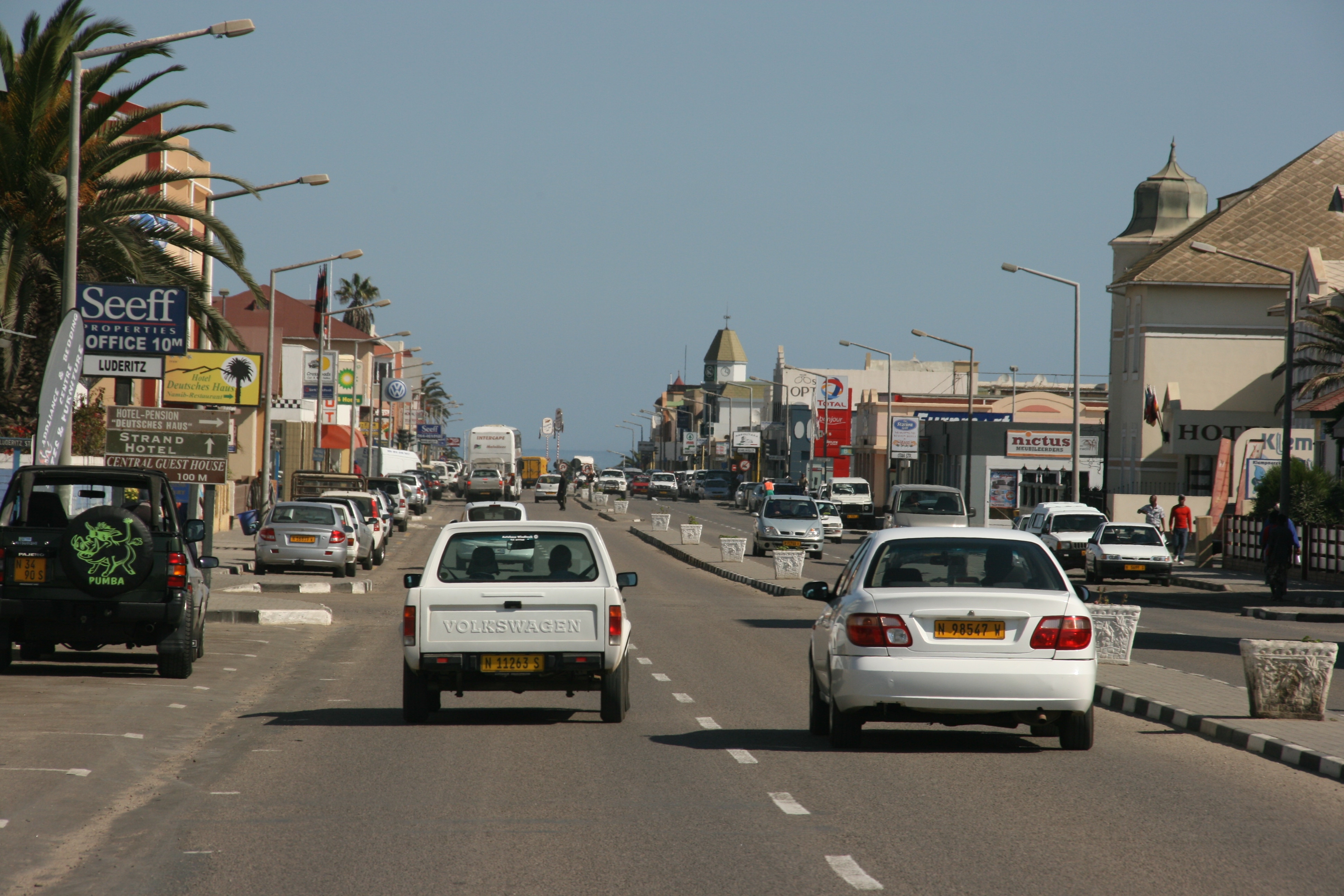
The drive to the Eros Airport from the guesthouse confirmed my earlier impression that Windhoek is a modern, clean, prosperous that resembled a very tidy version of many middle-sized Australian towns. Unfortunately, we saw only a small part of Windhoek as the minivan took us fairly quickly to the airport for our intended 8:00am departure.
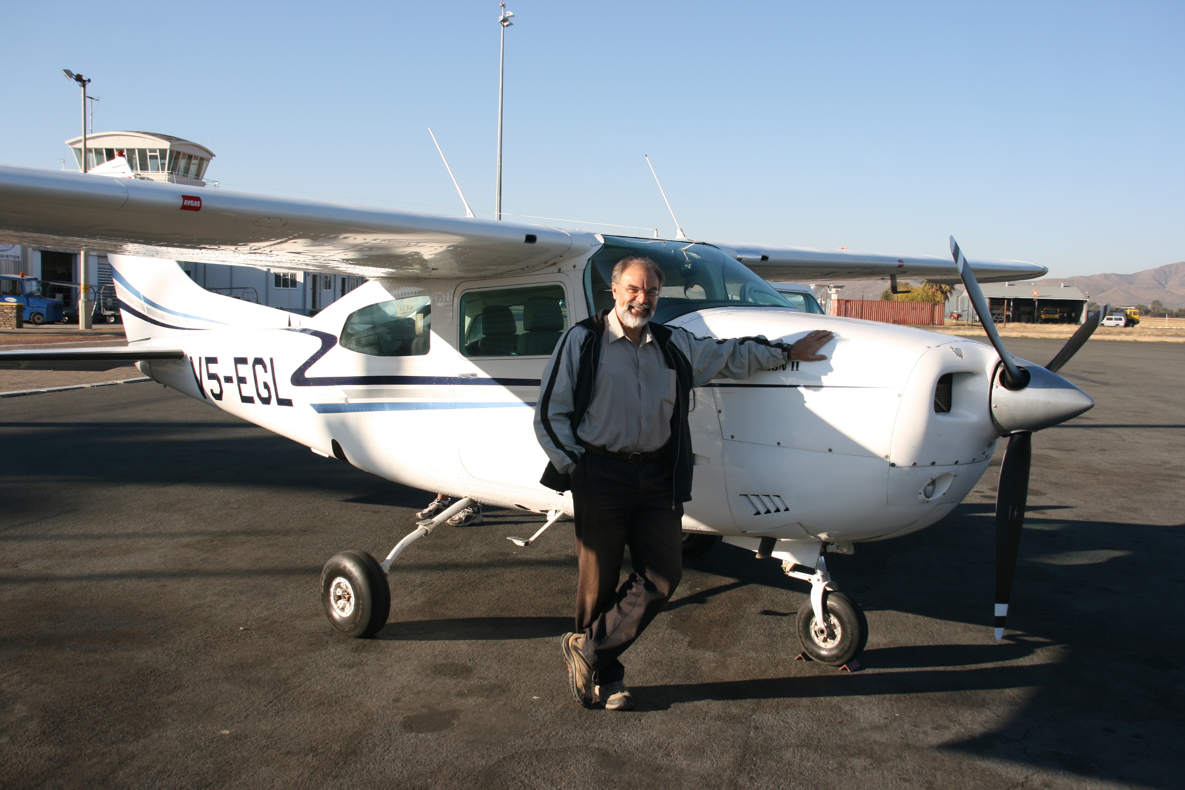
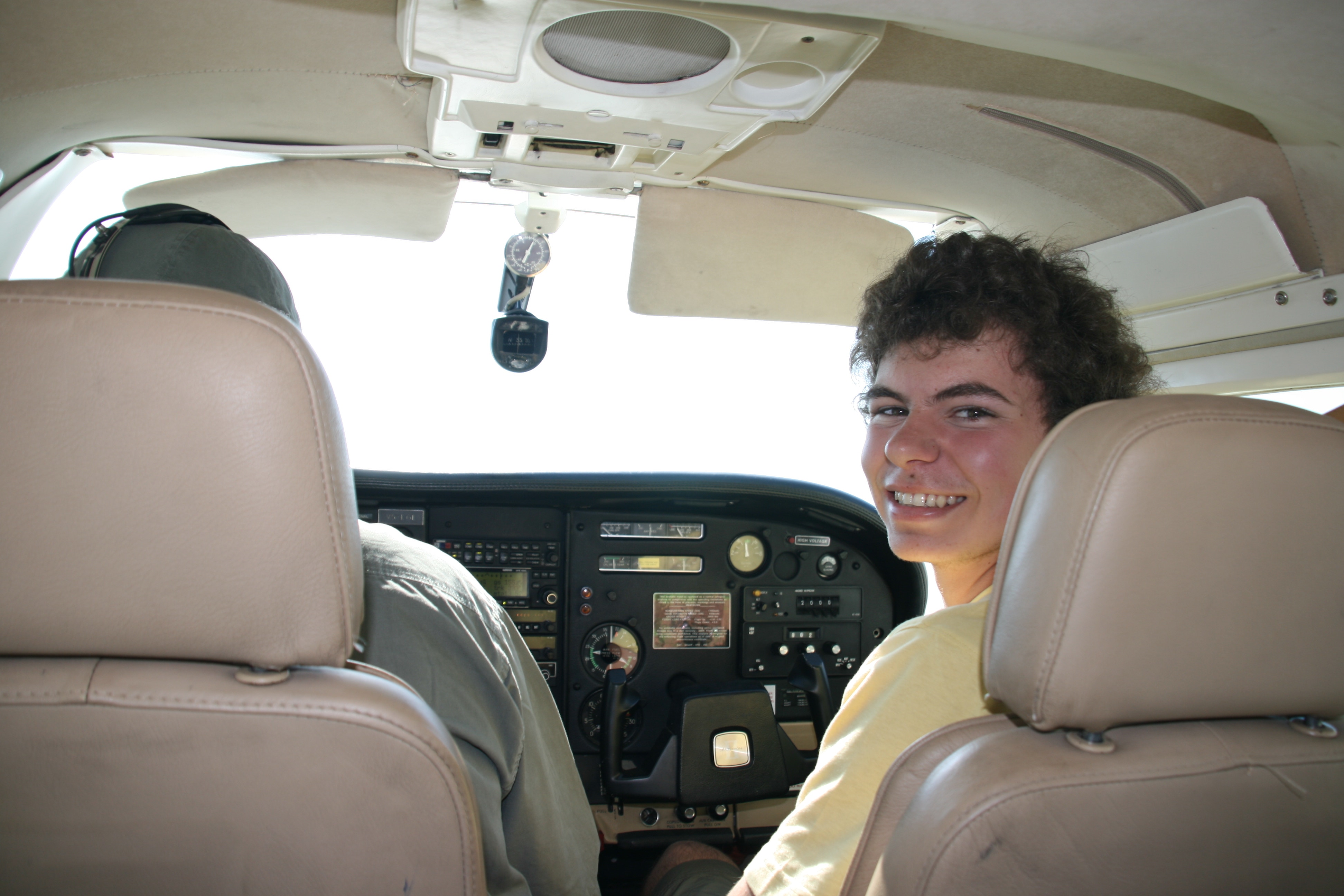
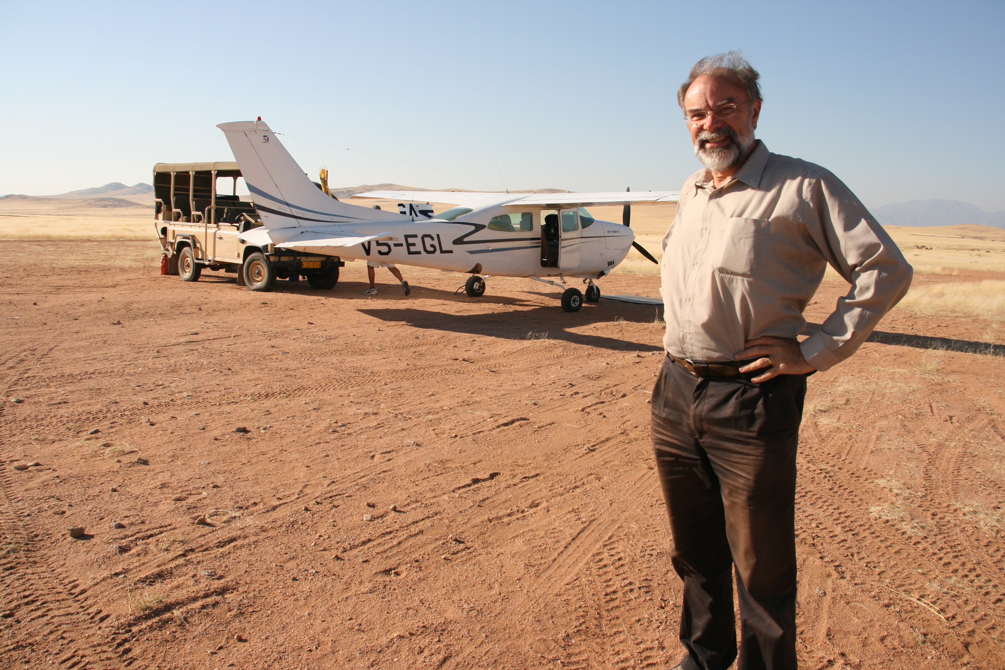
The only way to reach the north-west corner of Namibia, known as the Kaokeveld, within our time limit is to fly. We took a small Cessna 210 operated by Sefofane Air which flew two legs. The first leg was a two and a half flight west to Swakopumund, where the plane had to refuel. The second leg was a three hour flight north to Hartmann Valley airstrip, from which we needed a one hour drive in a 4WD to reach our campsite. The photo to the right shows our plane after arrival at Hartmann Valley airstrip, together with the 4WD that came to meet us and transfer us to our accommodation.
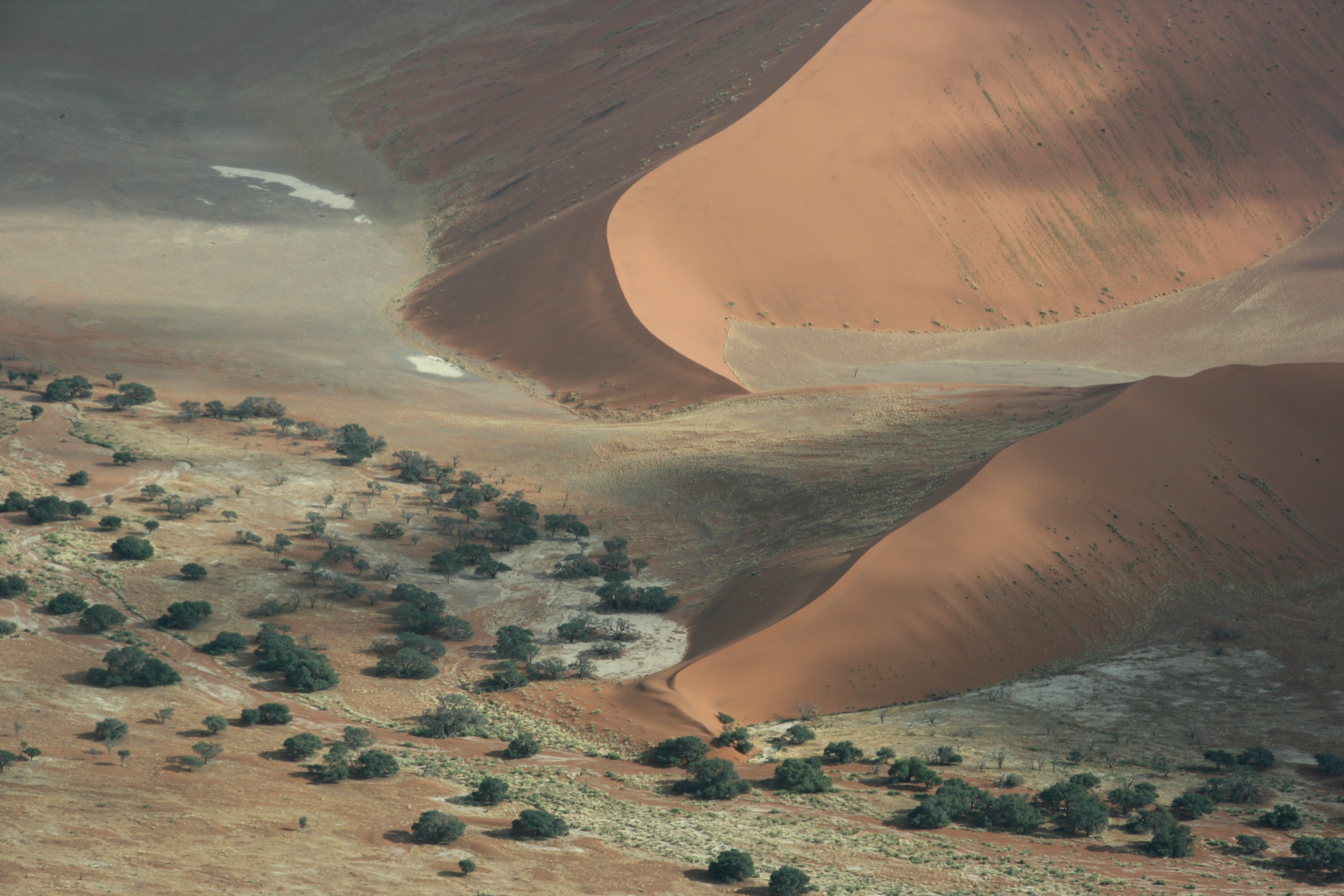
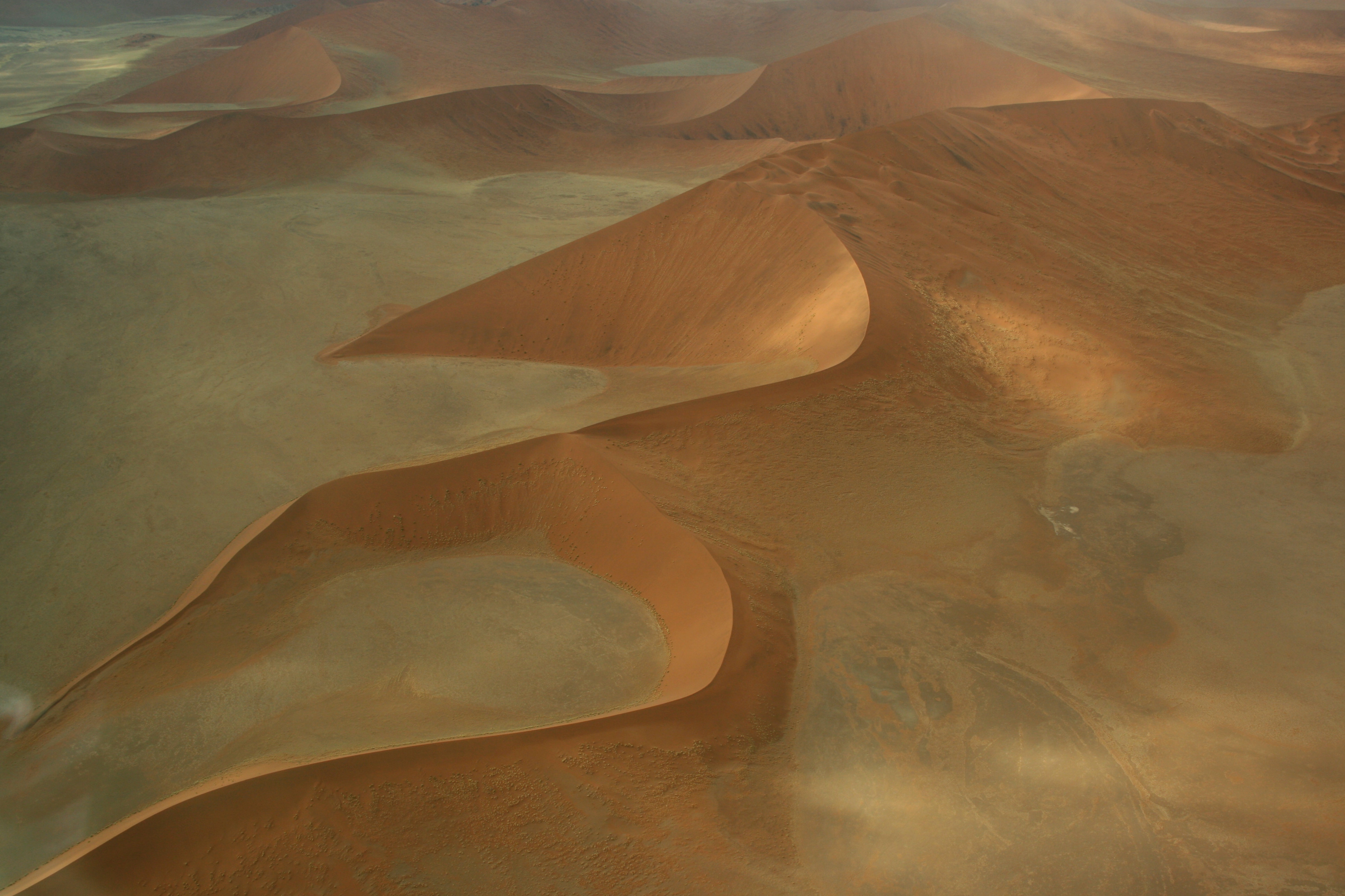
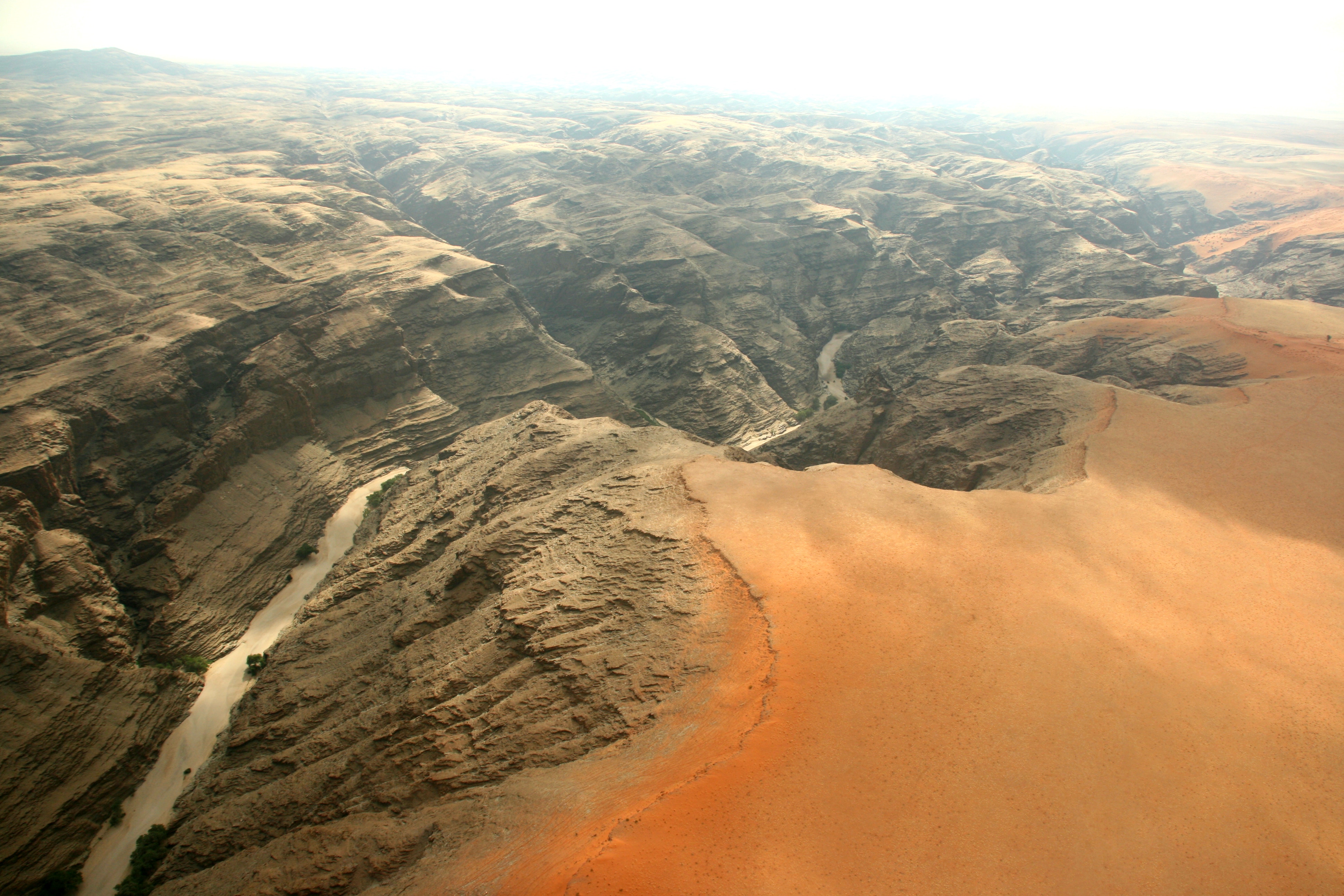
The flight was fabulous – an intense geographical, observational experience. We took off in perfectly clear weather and initially headed south-west towards an area of towering red sand dunes of the Namib Desert. This was perhaps the one disappointing feature of the day; there was a thick fog over the dunes. The pilot claimed that he had never seen a fog in that area before, and started taking photos with his digital camera. I have to say that he was much more excited about the fog than I was! However, knowing that we wanted to see the dunes, he circled downwards in an effort to get under the fog (without hitting the ground), and for the most part he succeeded. Although there were sections of the dunes that were hidden from us, we did get a reasonable if patchy view. We continued heading west towards the cost, flying over Walvis Bay (Namibia’s main port city) before touching down at Swakopmund.
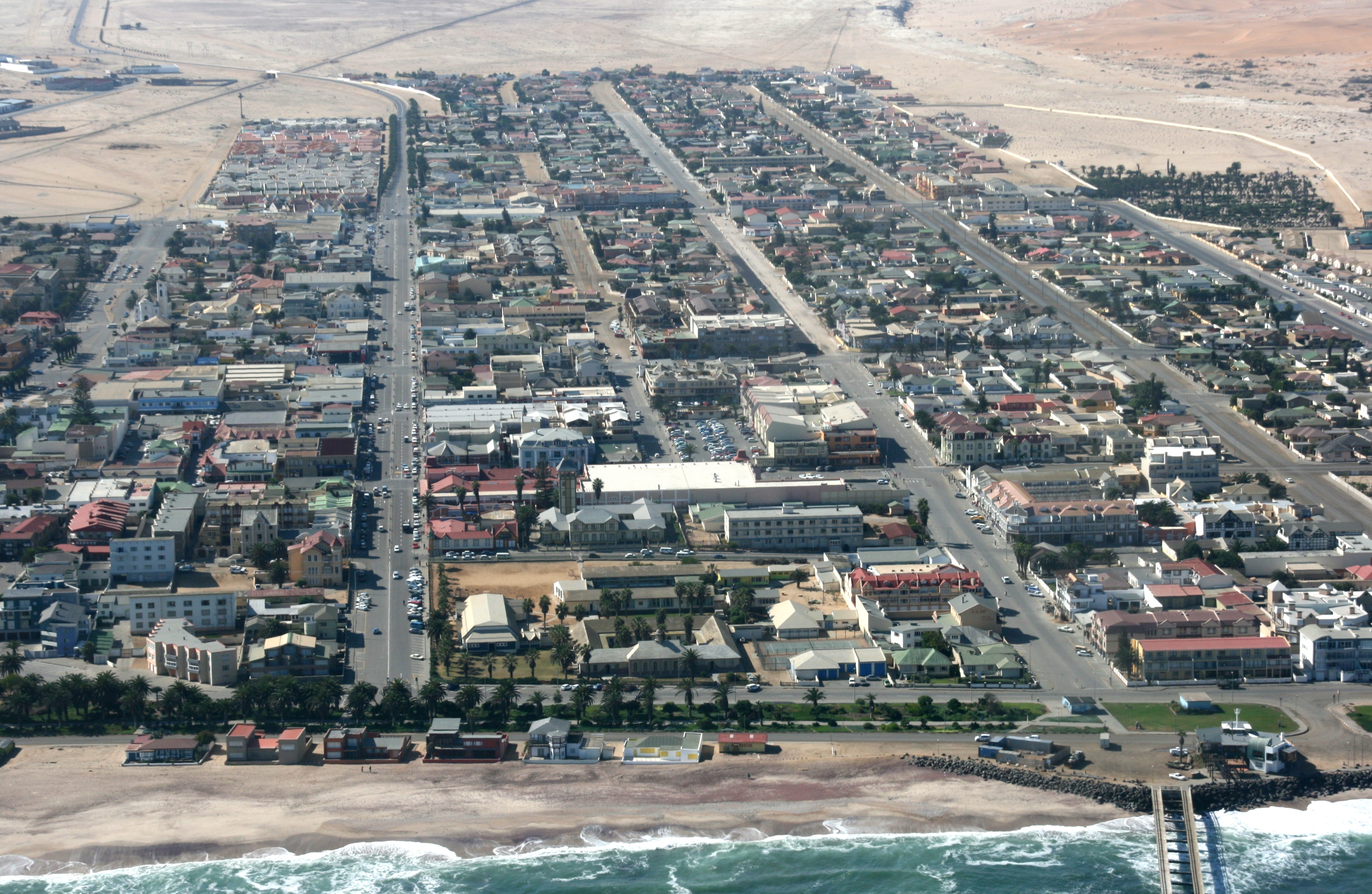
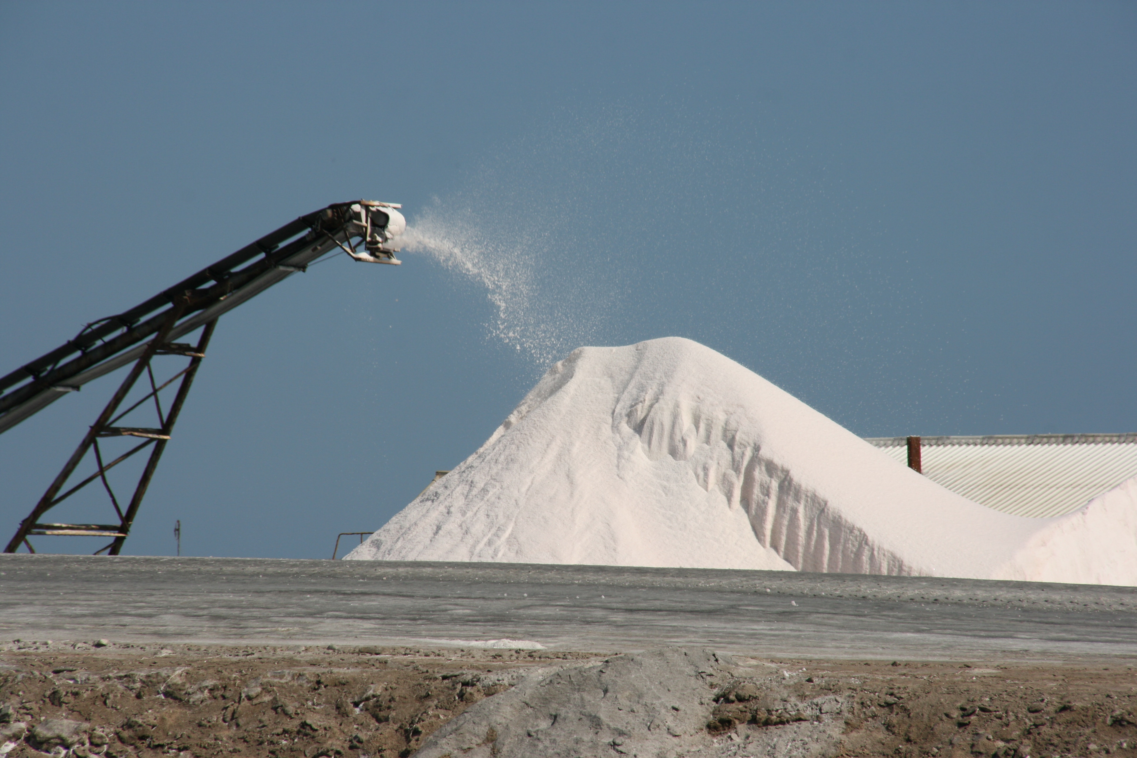
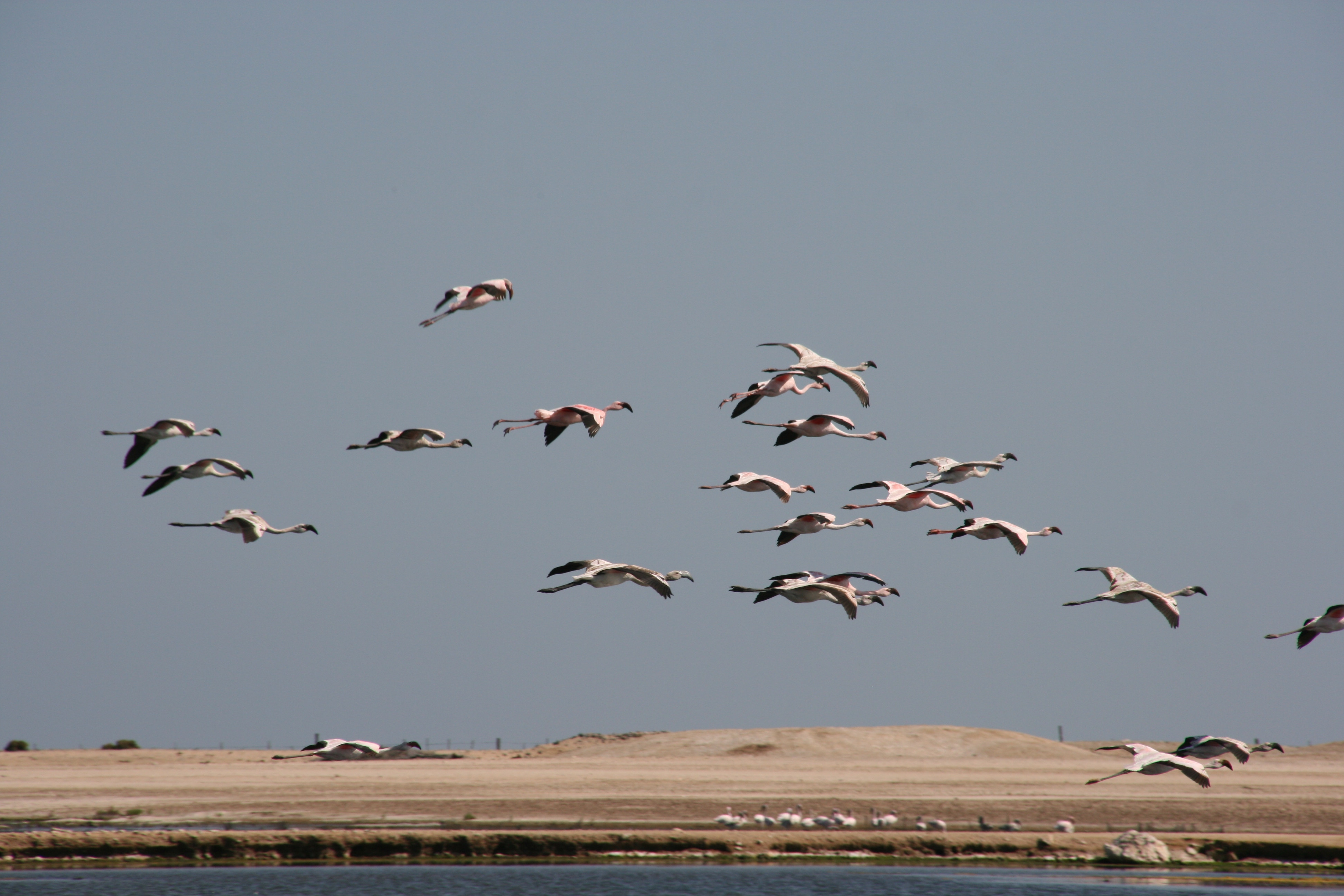
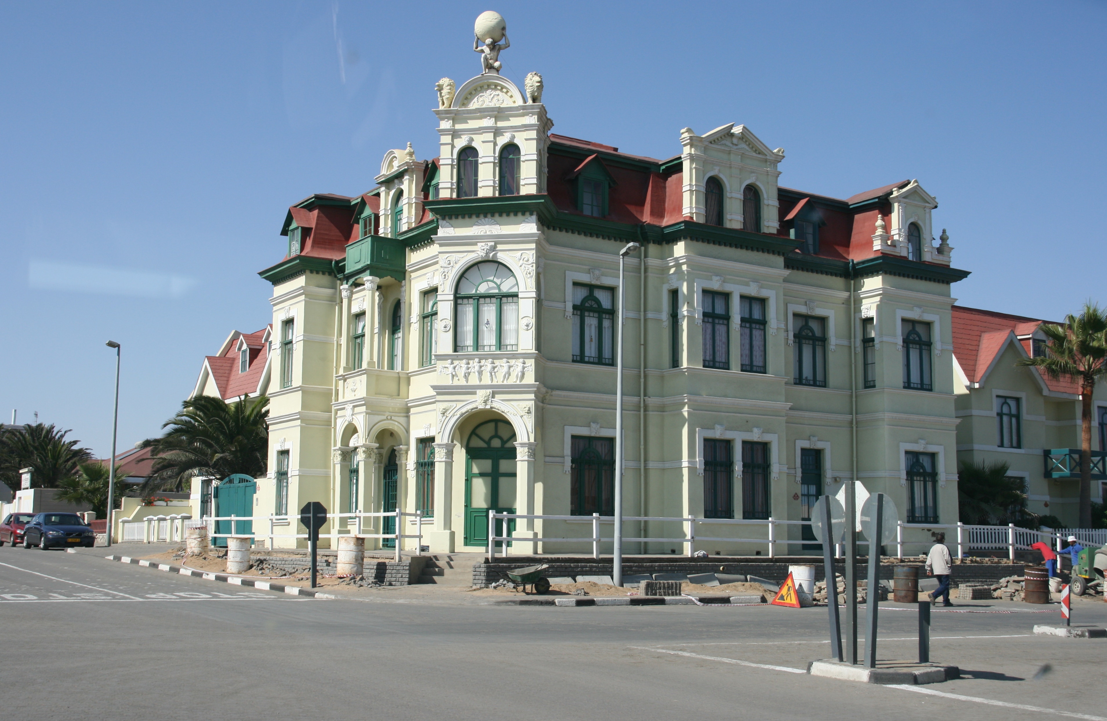
Swakopmund resembles a small, German town situated between the desert and the Atlantic Ocean. While the plane was refuelling, we spent a couple of tours looking around Swakopmund, and we were very impressed with what we saw. The town had some wonderful examples of historical German architecture, as well as some fascinating sights such as a recent shipwreck, salt evaporating flats, and a large coastal lagoon where several flocks of flamingos were seen.
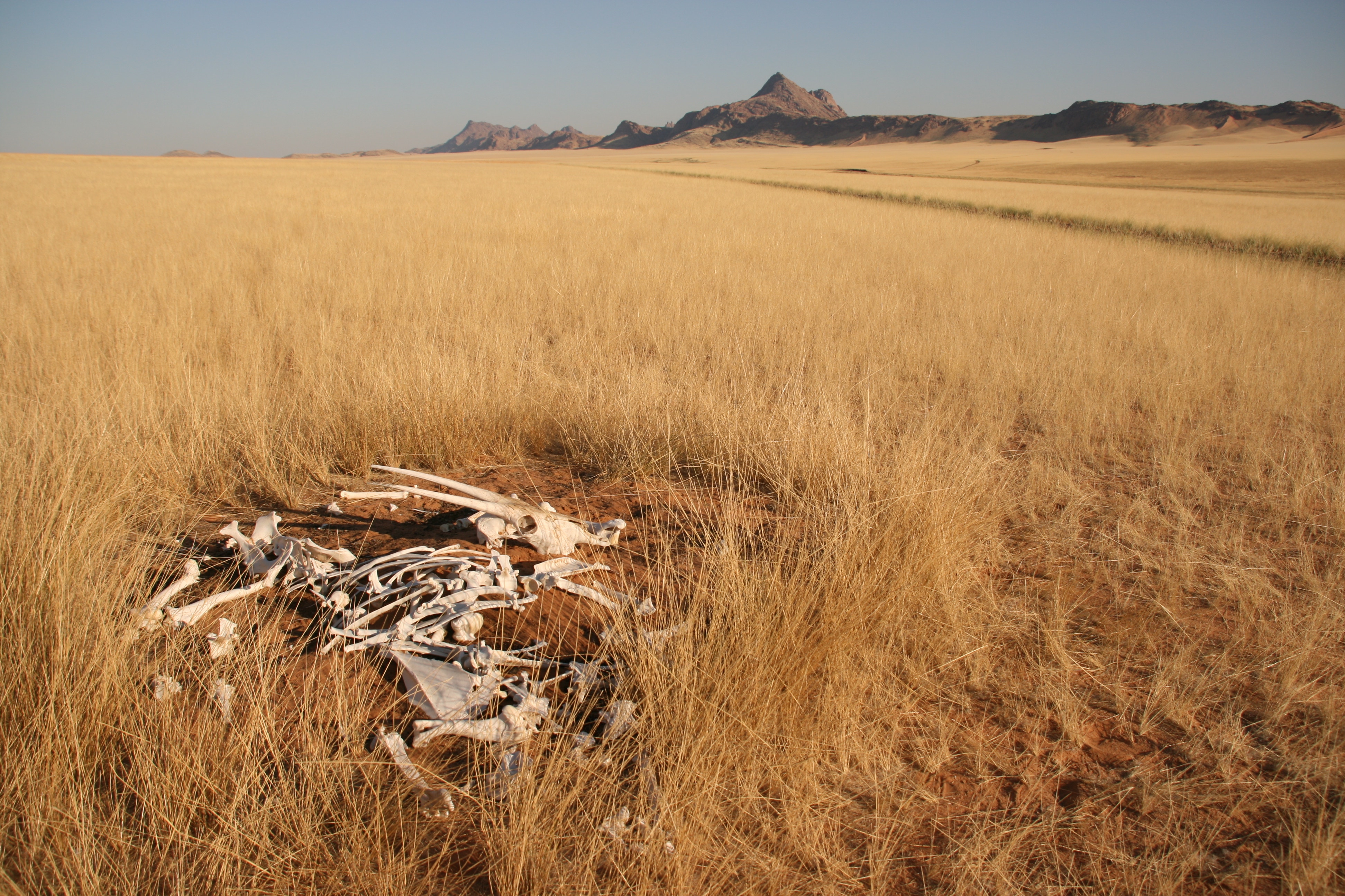
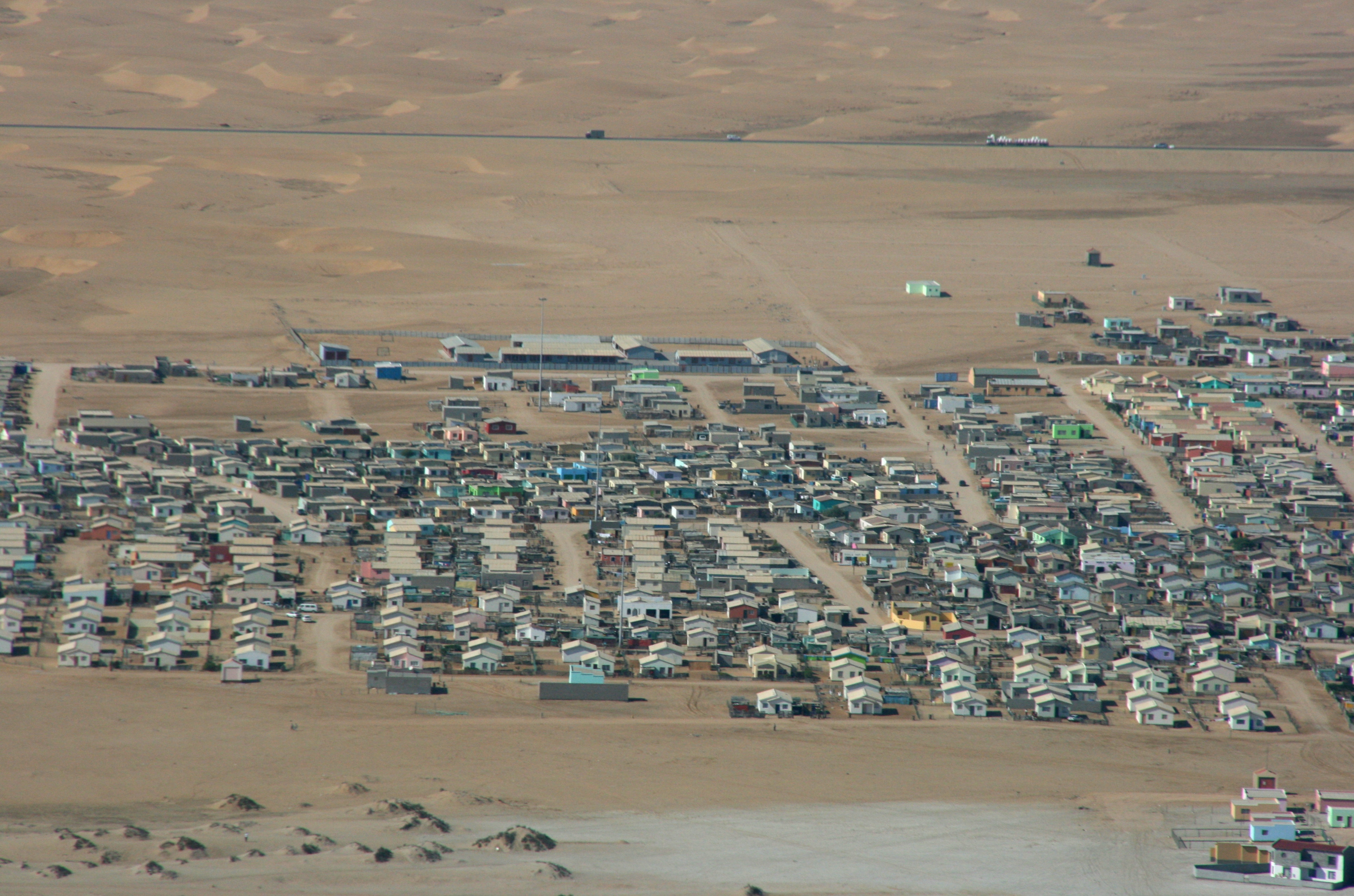
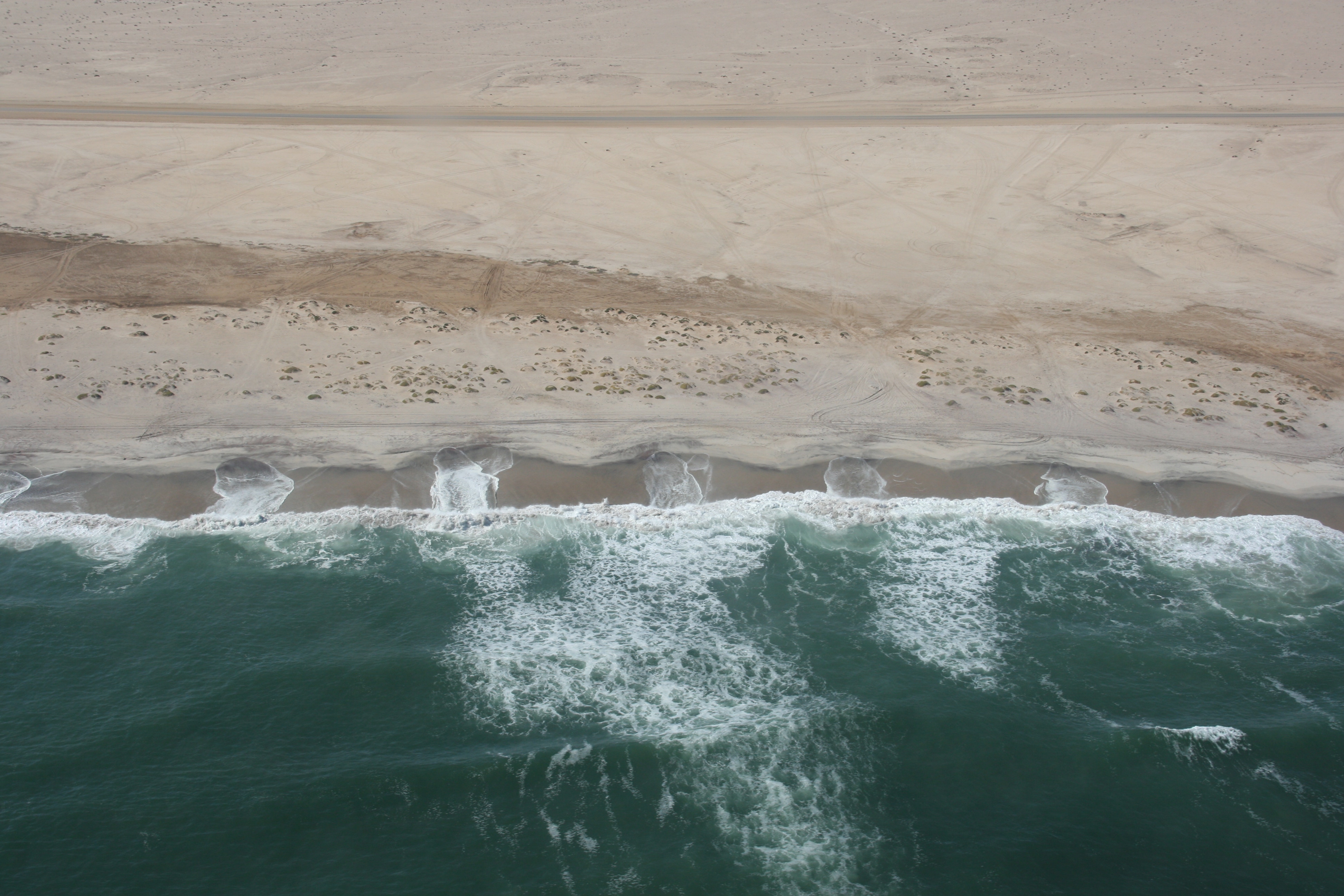
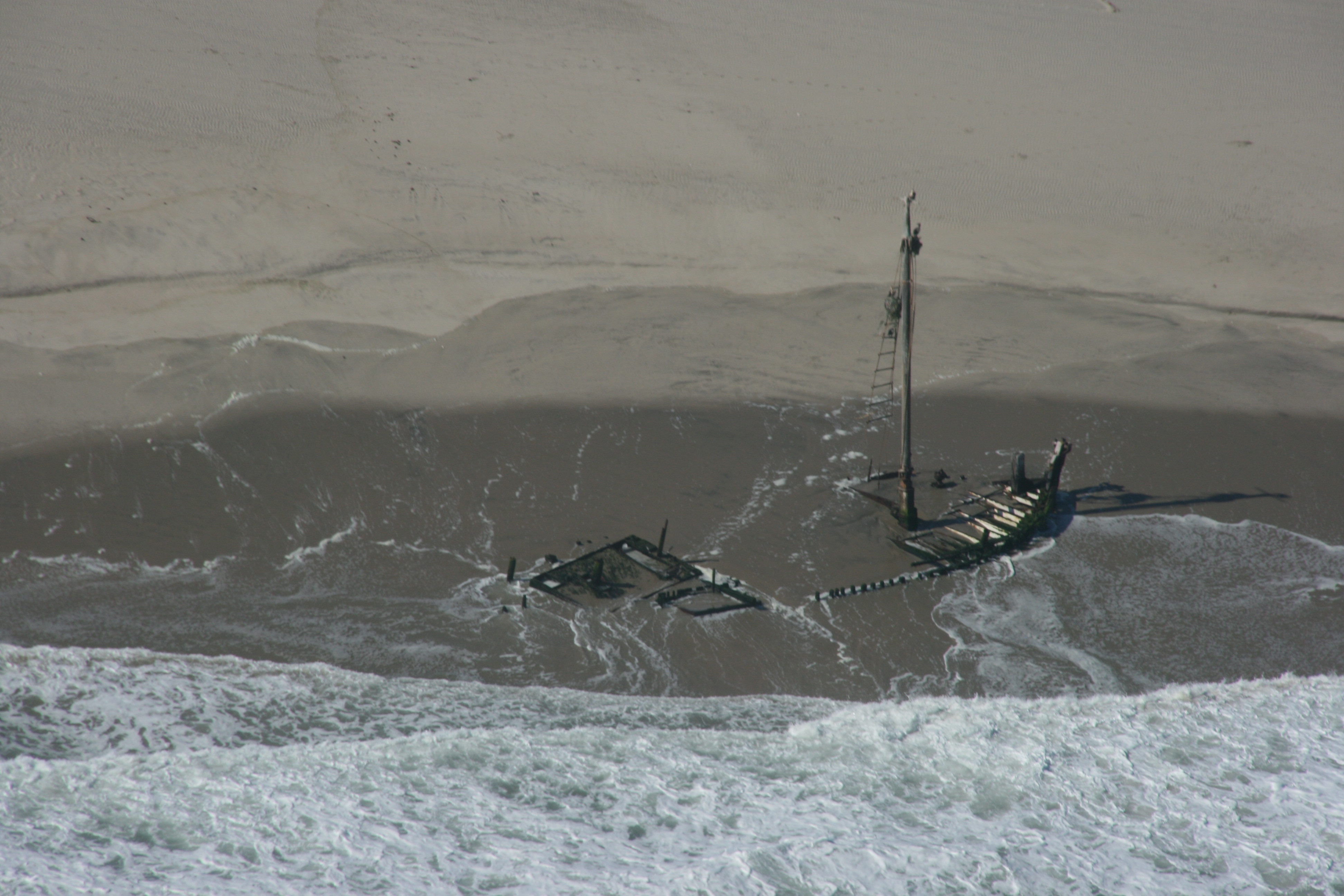
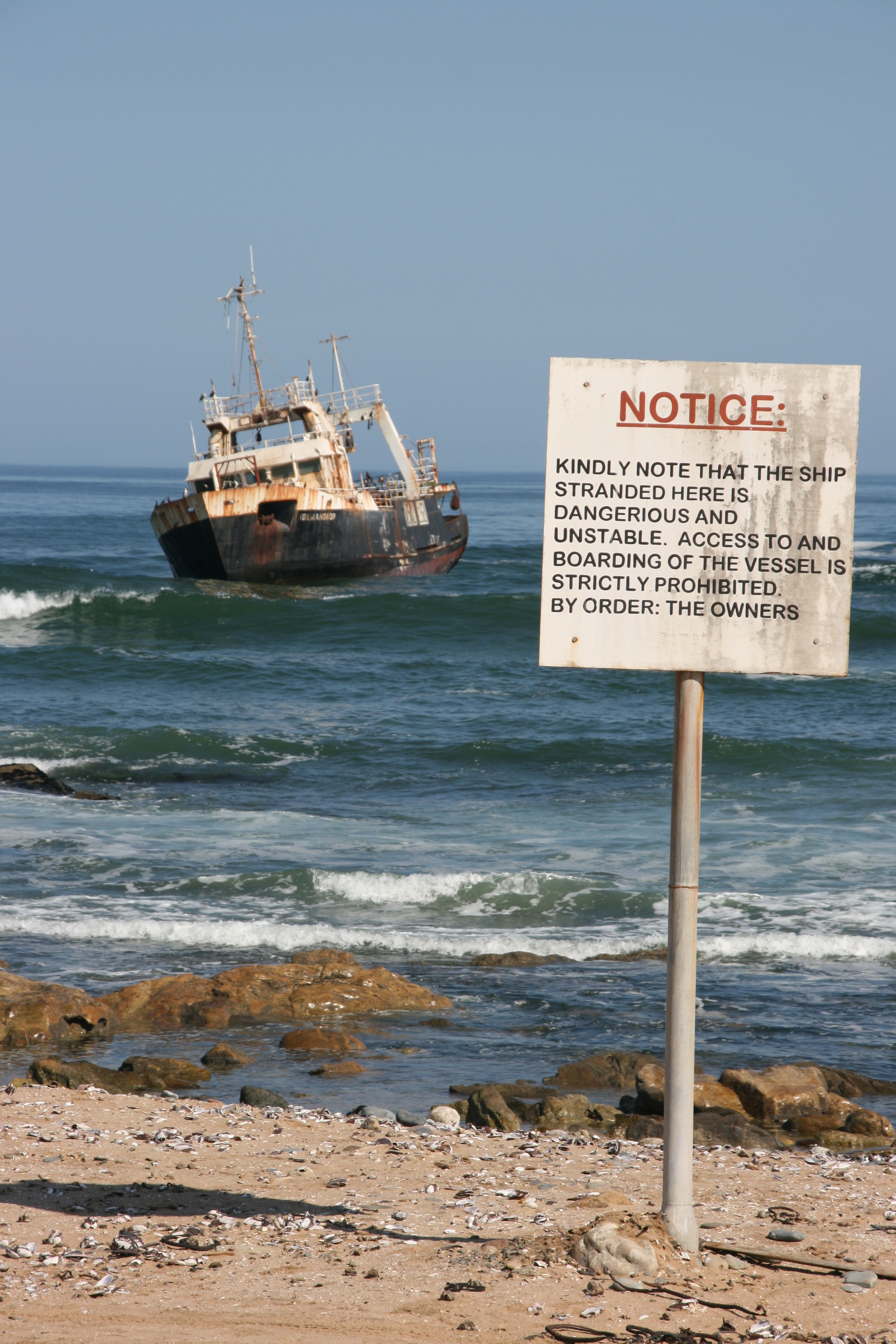
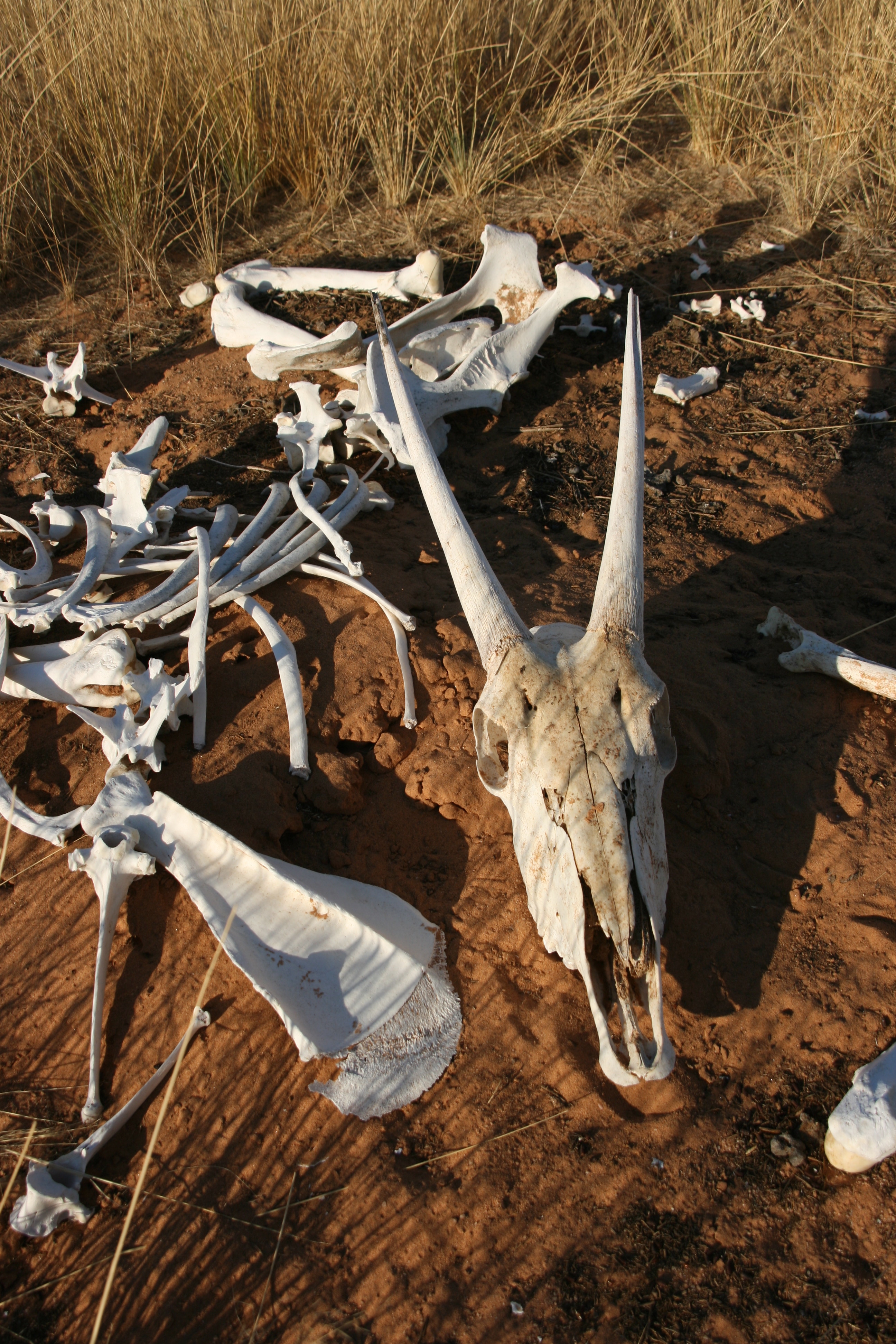
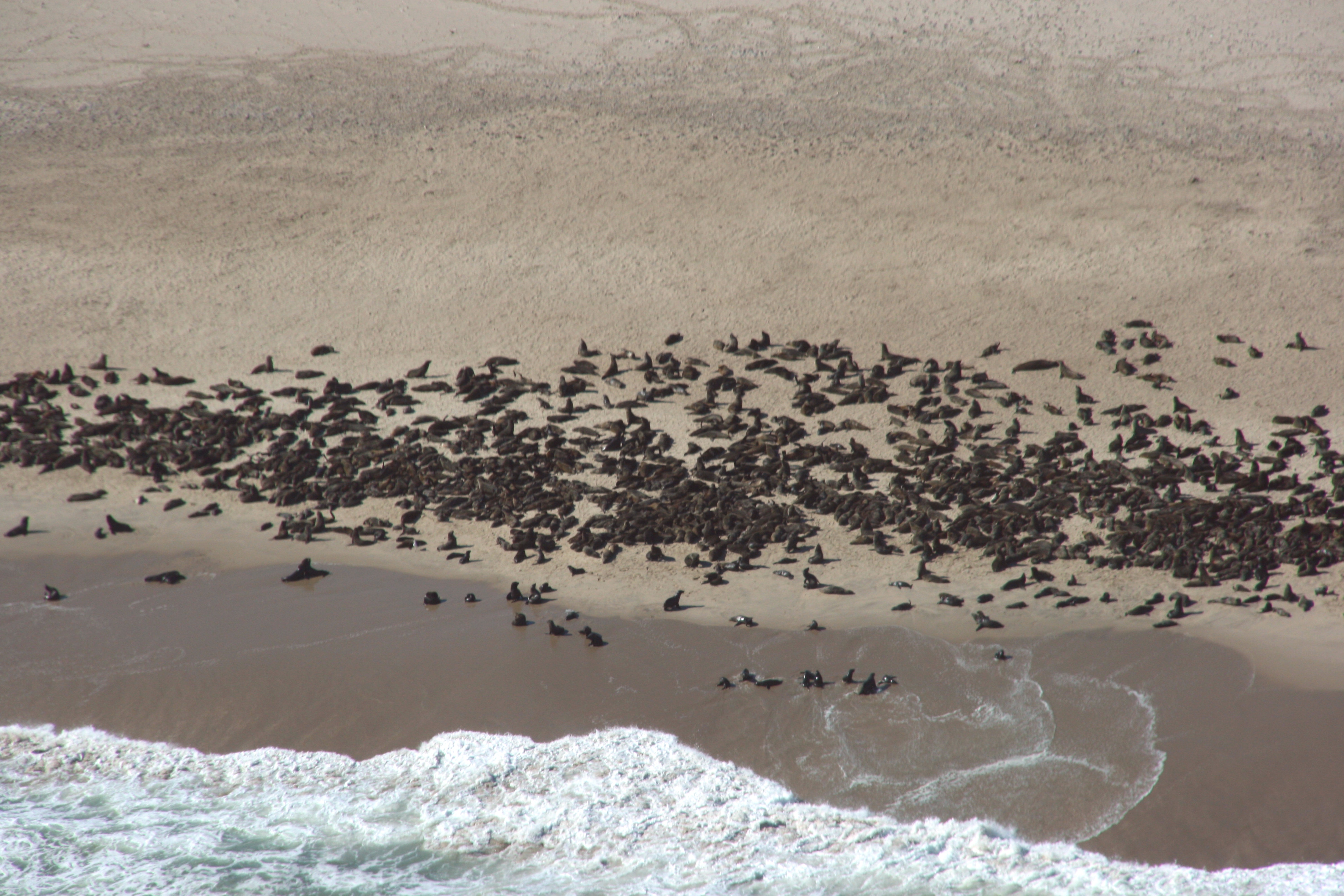
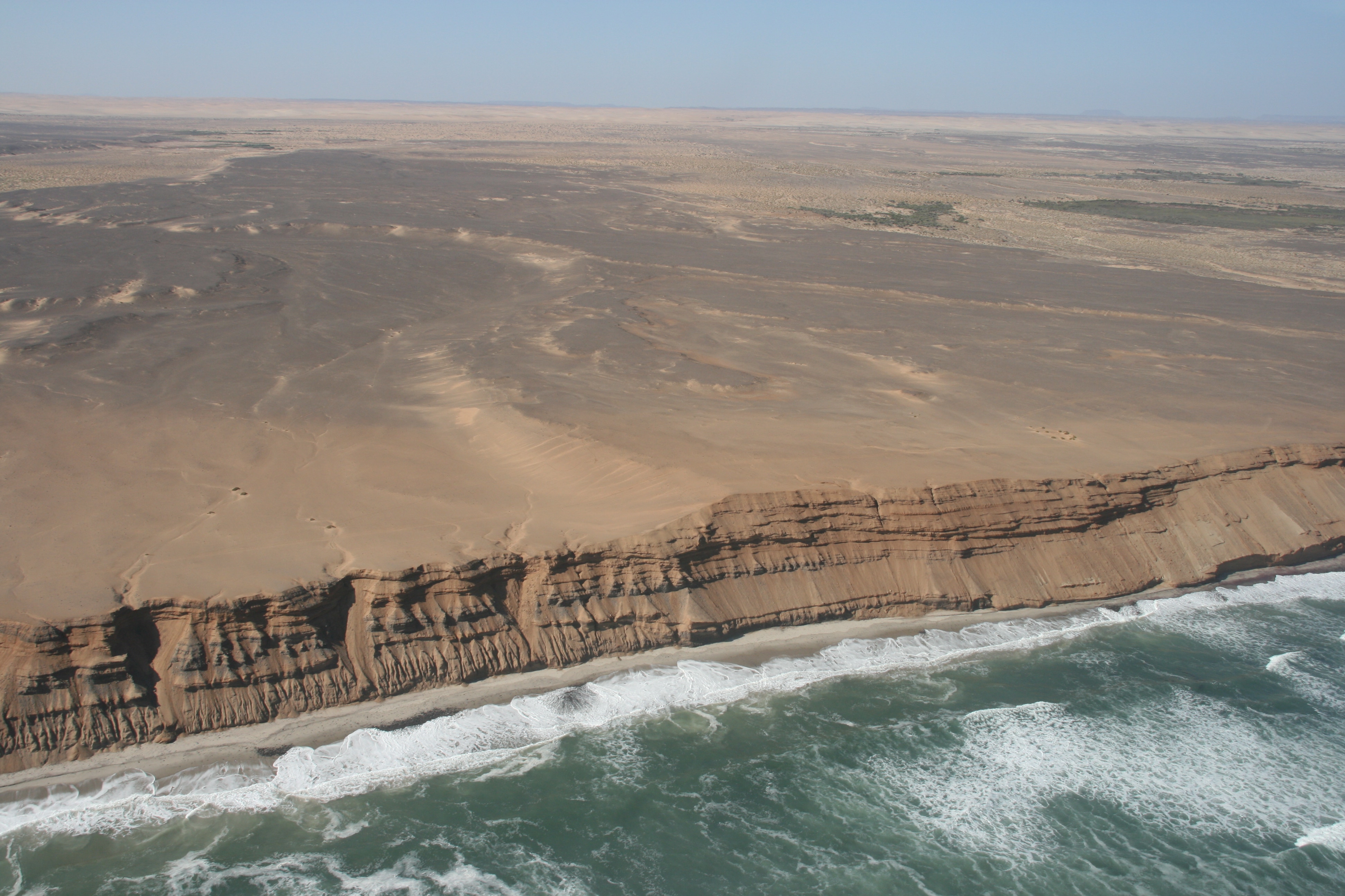
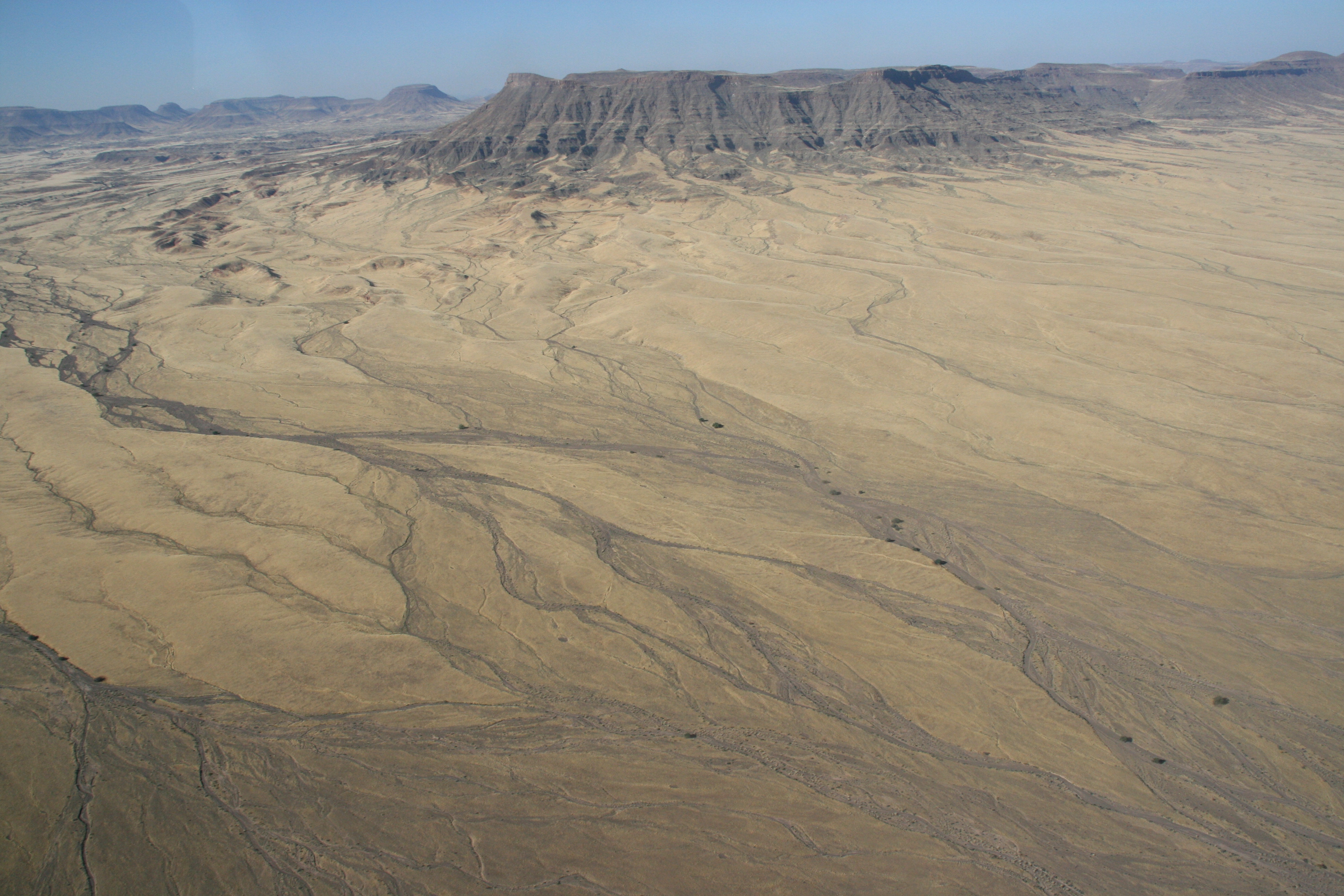
After the plane had refuelled at Swakopmund, we continued north, flying along the Skeleton Coast. This stretch of coastline derives its name from the many rusting shipwrecks found along the shoreline. Although the sands of the Namib Desert stretch right to the western shoreline, the coast is often shrouded in fog (as a result of the cold ocean current that flows along the coast), and it is thus notorious for its danger to shipping. We saw at least 8 shipwrecks as we flew along the coast, and no doubt many more lie buried beneath the shifting sands. Even more surprising was seeing several seal colonies, each containing several hundred (and perhaps a thousand or more) seals. Other points of interest were several old diamond mines, a number of large dry river beds, and some huge dune fields.
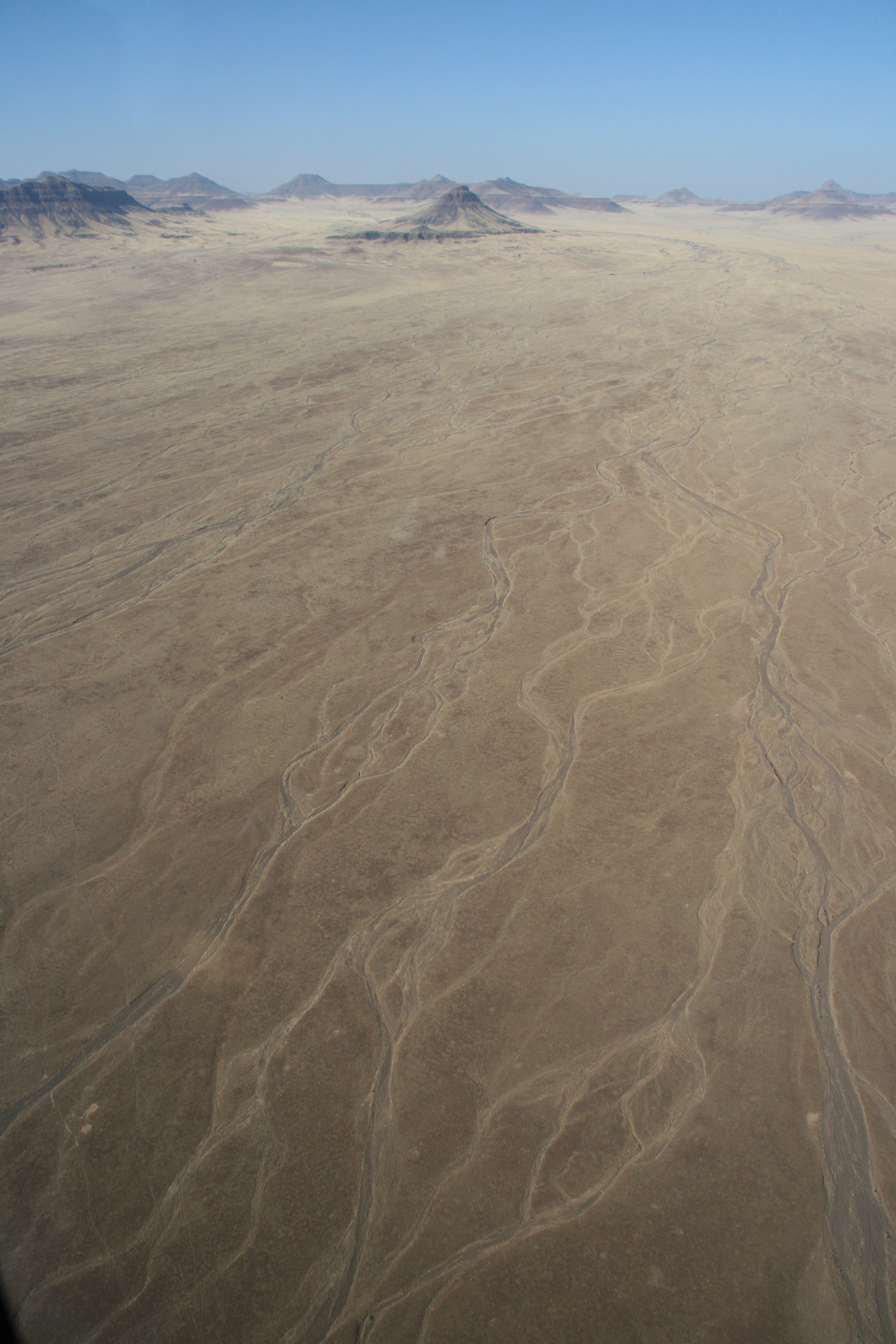
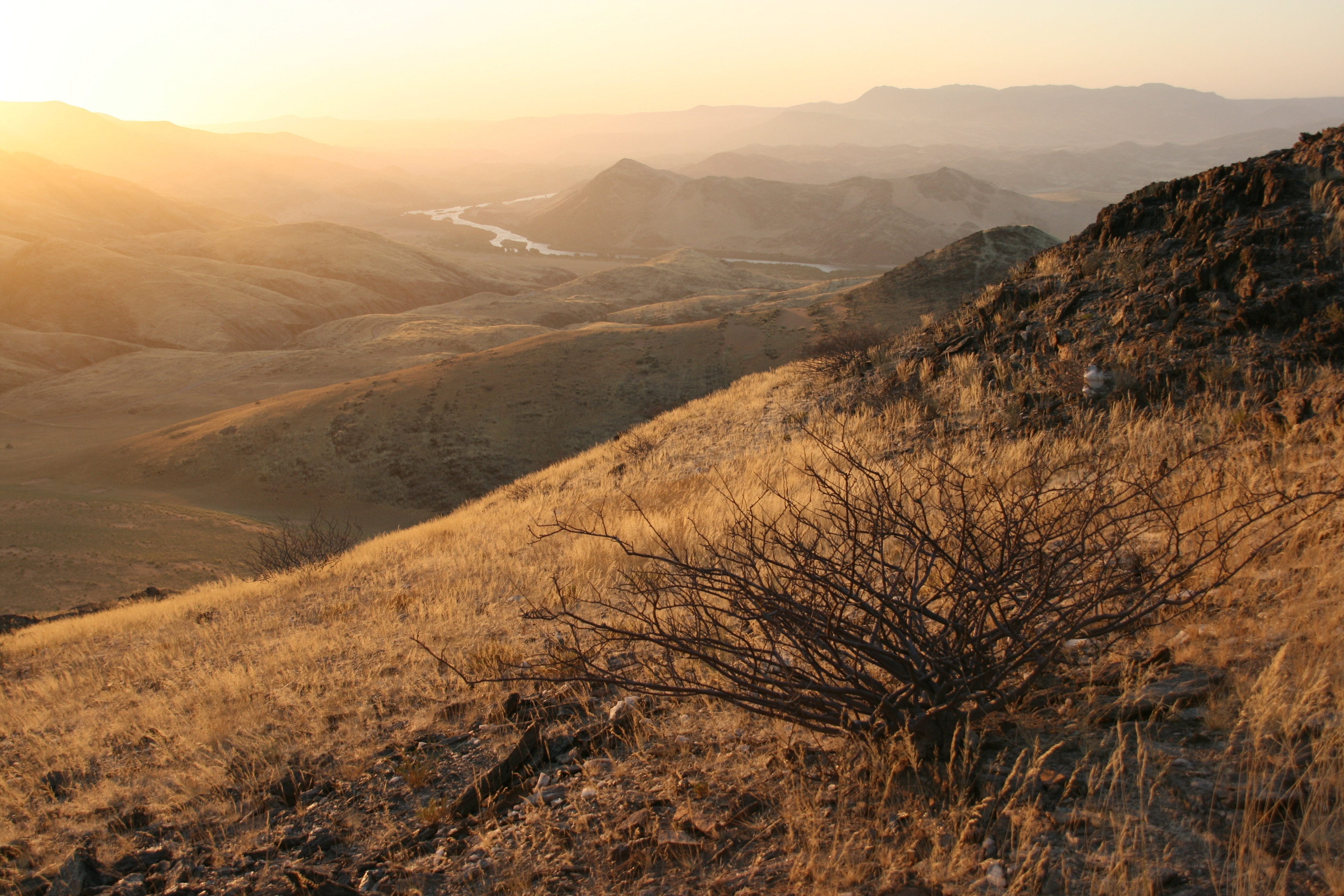
When we reached the mouth of the (dry) Munutum River, we turned inland, initially following the course of the river, but later turning northwards to cross a spectacular dune field and then a succession of arid and semi-arid landscapes with features such as mesas, buttes, ephemeral streams, braided river channels, alluvial fans, and so on.
We landed at Hartmann Valley airstrip at little before 4:00 pm. The airstrip is simply a narrow dirt stretch with no buildings except for a tiny, fairly rudimentary (i.e. non-flushing) toilet.
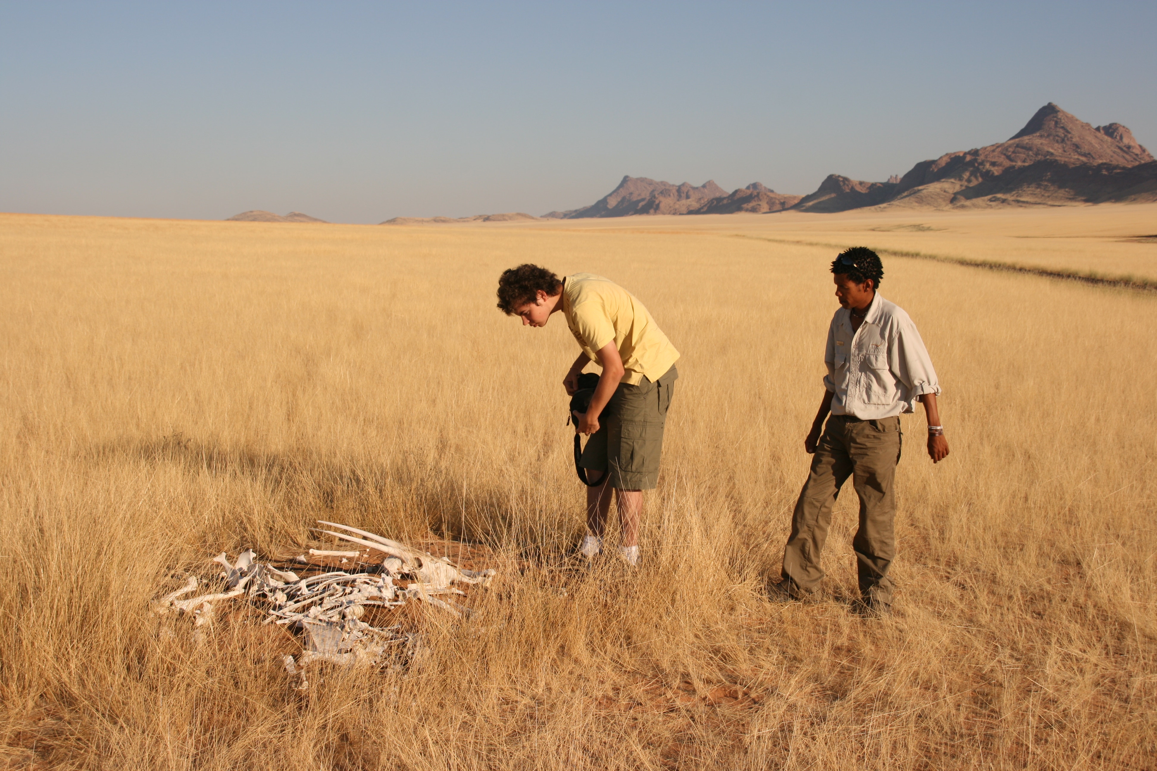
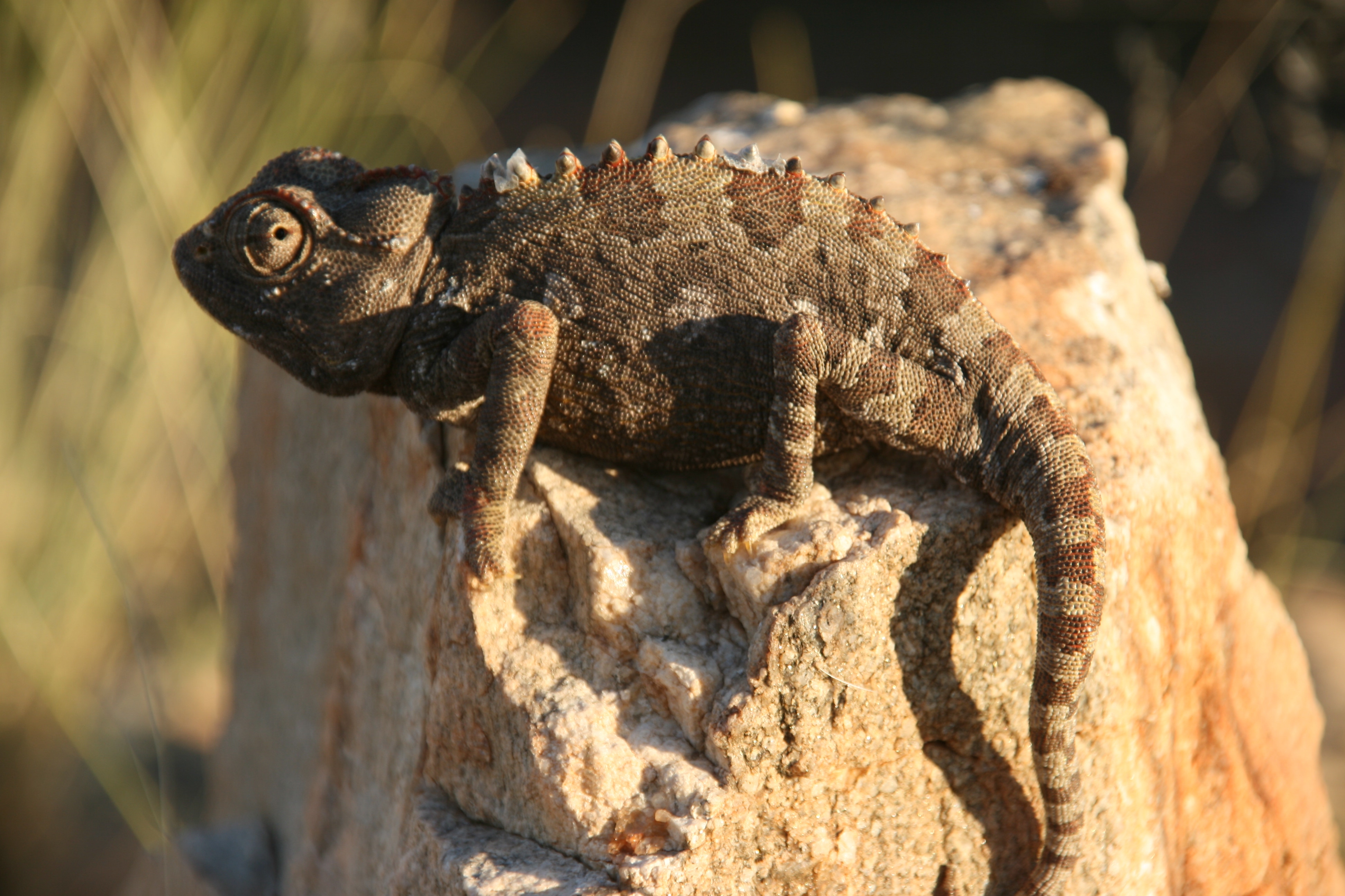
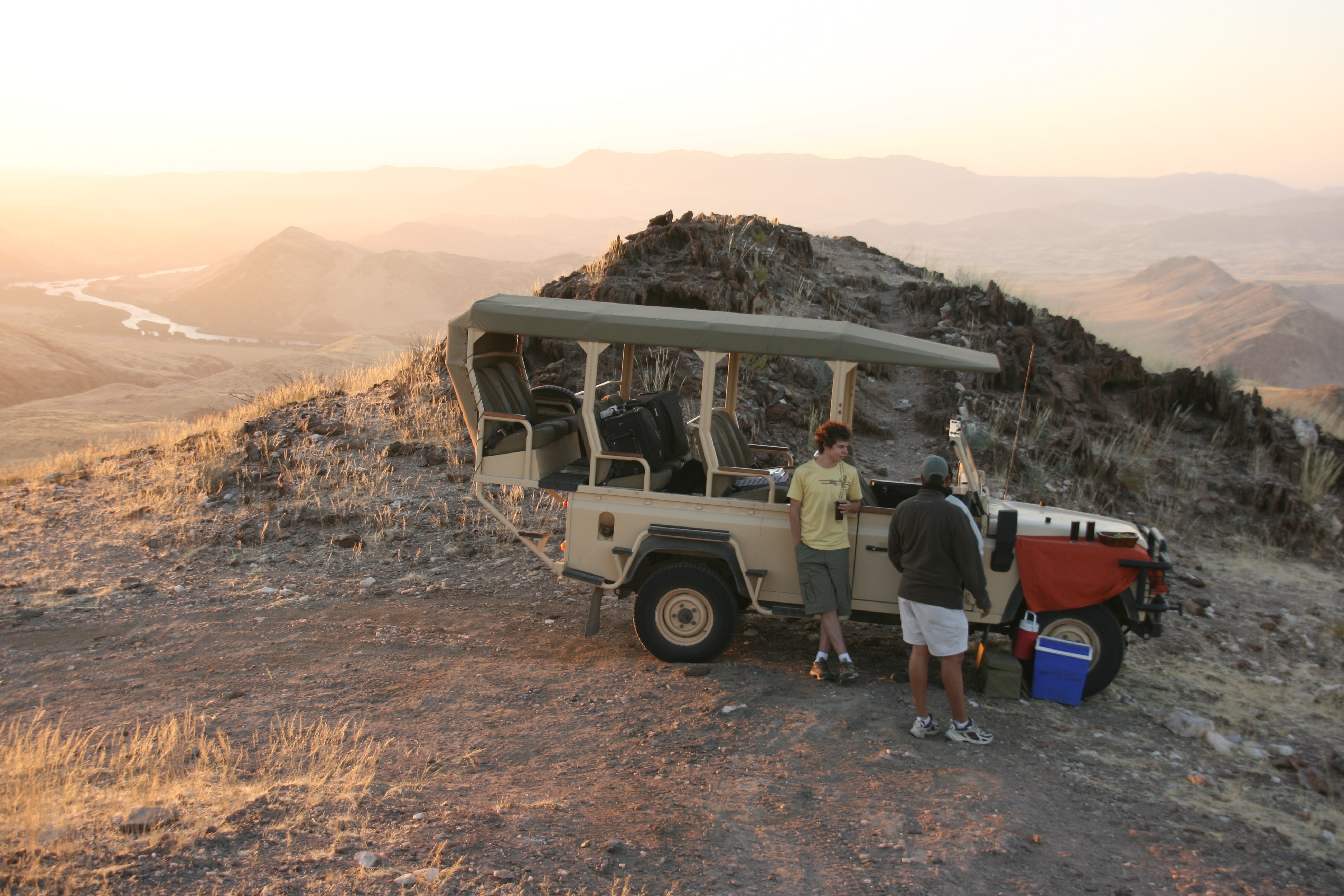
We were met by Francois and his 4WD from the campsite where we were to stay for the evening. He was extremely well informed about the environment of the Kunene River and equally eager to share his knowledge with us. Therefore, we stopped on several occasions to look at birds or animals or interesting plants that he had spotted, or to explain various facets of the local ecosystem, or to take in the beauty of this very special area under the setting sun. I am certainly looking forward to learning more from him when we explore the area in detail tomorrow.
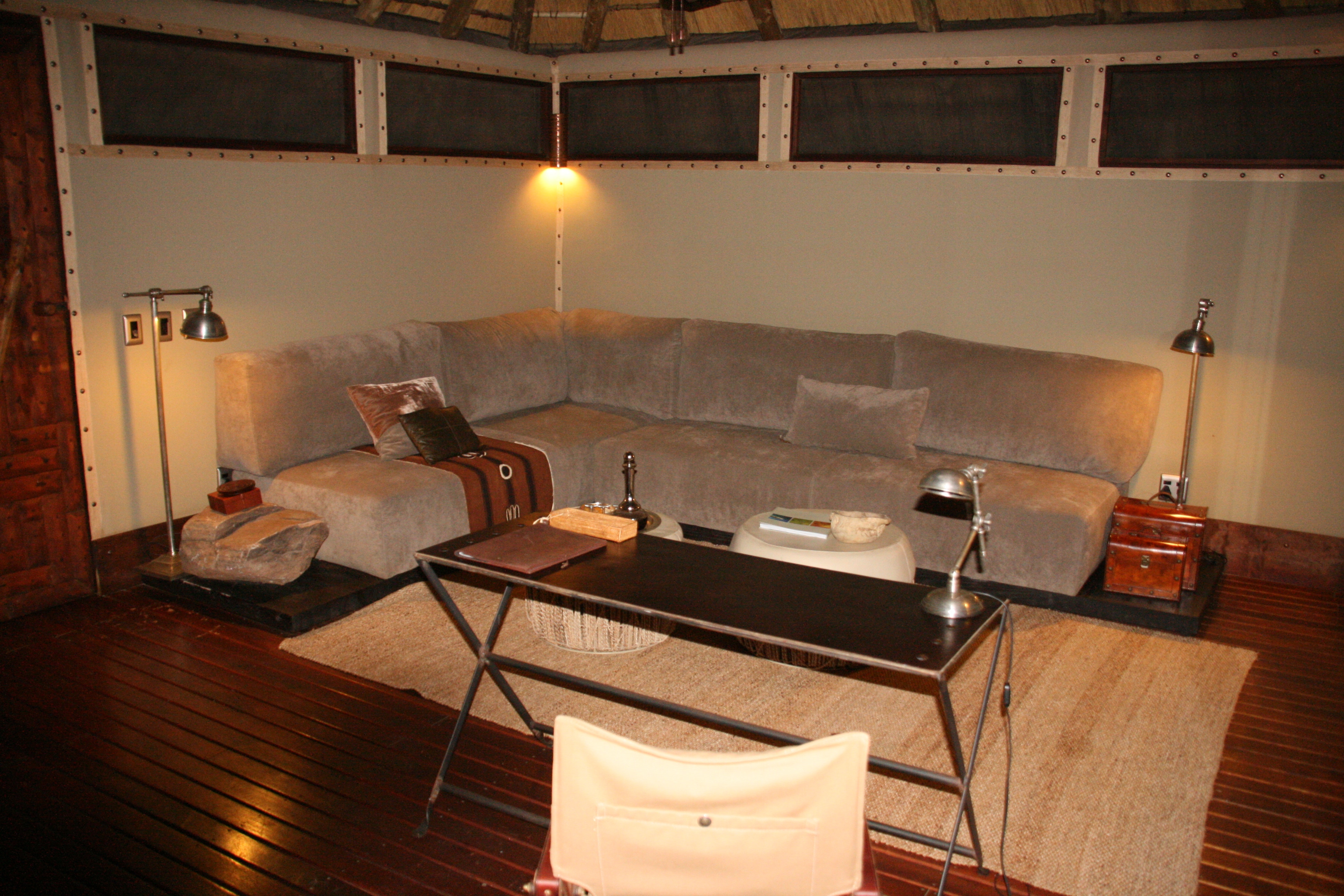
Our accommodation at Serra Cafema was far more luxurious and spacious than anything we had experienced during our time in Ethiopia – and everything worked. We were even welcomed with a wet face washer when we arrived to wash the dust from our hands and faces! And most excitingly of all, they offered to do any of our laundry for free. As it had been a week and a half since we had stayed anywhere for more than an overnight stop that had running water (either hot or cold), this was a true godsend – although the people who do the laundry may not have viewed it in quite the same way when they saw the dirty condition of my shirts after southern Ethiopia’s dusty roads.
The campsite was arranged in elevated cabins as protection them from flooding and crocodiles, with each cabin connected by an elevated wooden walkway to a main building where food was available. Andrew and I enjoyed one of the best meals so far of this trip when we had dinner this evening; fresh ingredients that were prepared to perfection. The campsite was right beside the Kunene River that marks Namibia’s northern boundary with Angola (which is why all the buildings are elevated). If we were 50 metres further north, just across the narrow river, we would have been in Angola.